
The submerged structure off France’s coast is forcing scientists to rethink early human activity.
Off the Finistère coast of Brittany, divers surveying a submerged plateau near the Bay of Audierne ran into something that feels wrong in the best way: a straight, human-made stone wall hiding under the waves for thousands of years.
It lies roughly 9 meters down today, but it was assembled when sea levels were far lower and the shoreline sat much farther out, turning this spot into walkable ground.
Dating work places it around 5800–5300 BCE, older than many famous megaliths on land, and its scale has researchers arguing over whether it was protection, a trap, or something we have not named yet.
1. The seafloor “line” that didn’t look like nature
The first clue was the shape. Nature can stack stones, but long, organized lines on the seafloor make researchers suspicious for a reason.
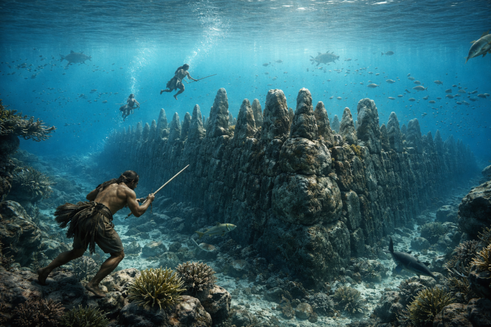
Surveys and dives confirmed a wall roughly 120 meters long, with big granite blocks and upright stones arranged in a deliberate pattern. It is not a shipwreck and not a modern barrier. It is a prehistoric construction sitting quietly beneath one of France’s rougher coastlines, waiting for the right light and the right equipment to notice it.
2. It was spotted on screens before it was seen with eyes

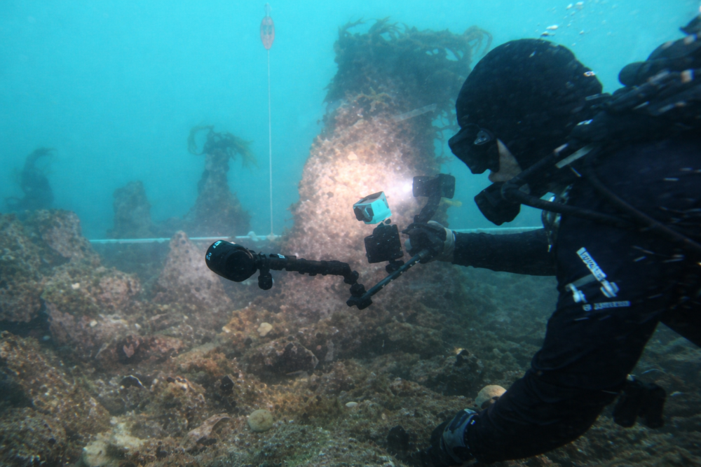
This wasn’t found by luck alone. Researchers first spotted unusual shapes with seafloor mapping, then returned with divers, cameras, and 3D recording to test what they were seeing.
Over multiple field seasons, teams documented not just one wall but a cluster of stone features nearby. That matters because a single line could be a fluke, but a whole “neighborhood” of constructions suggests planning and repeated visits. The sea now hides the layout, but the geometry still shows through clearly now.
3. Why this spot off Brittany makes the story stranger
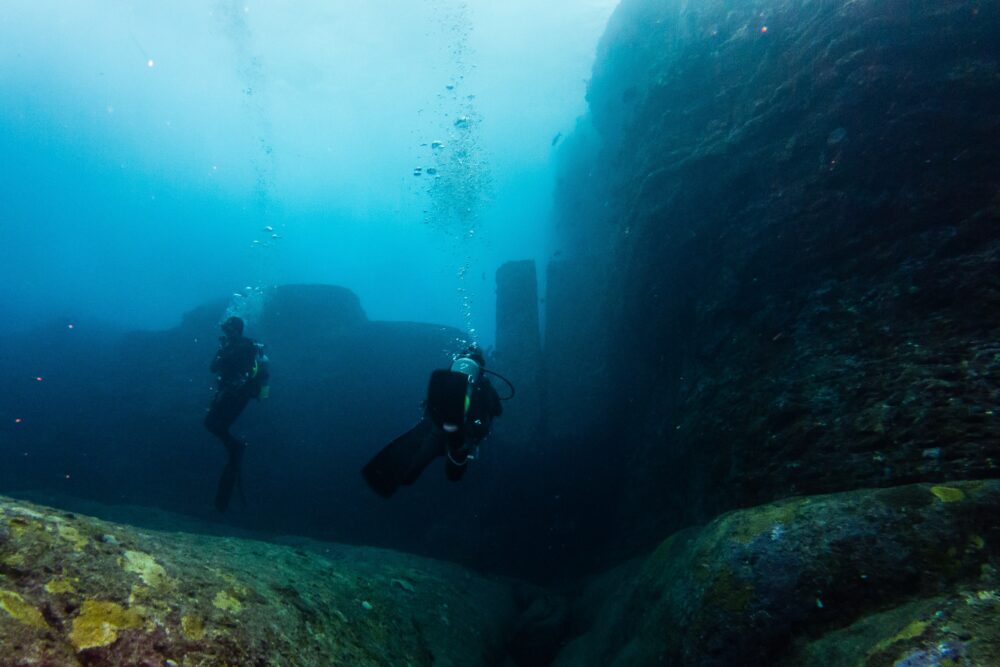
Location is part of the mystery. The structures sit off western Brittany, near the Île de Sein and the Bay of Audierne, an area known for reefs, currents, and brutal storms.
Today the wall rests under roughly 9 meters of water, but during the early Holocene the shoreline was different. What looks like an underwater monument was once part of a coastal landscape people could reach on foot. The ocean didn’t move the wall into place; it moved over it.
4. The dates are what make archaeologists sit up straight

Dating is what turns a cool find into a serious problem for timelines. Samples and context place the main construction around 5800–5300 BCE, when sea levels were still rising after the last Ice Age.
That is early for large, organized stone building in this region. It suggests coastal groups had the skills, time, and social coordination to move heavy blocks and align them carefully. Even if the wall had a practical job, the engineering behind it is hard to ignore.
5. A wall made of “teeth,” not pebbles

The wall is not a neat little line. Reports describe a broad structure, roughly 120 meters long and about 20 meters wide in places, with many stones set upright like teeth.
Some descriptions mention around 62 monoliths linked to the main feature. Divers also recorded additional smaller stone structures close by, which may be related or may be separate builds from the same period. Either way, it looks less like one afternoon’s work and more like a long-term community project.
6. The big question: why build this at all

So what was it for? One leading idea is that it functioned like a dyke or breakwater, built to slow waves and protect a low-lying shoreline when the sea was creeping higher.
Another hypothesis is more everyday: a fish trap or tidal weir, designed to guide fish into a controlled area as the water moved in and out. Similar systems exist worldwide, but this one would be unusually early.
The honest answer is that we do not know yet. But the wall’s size, straightness, and placement make it feel purposeful, and that is why researchers keep returning to measure, model, and argue about it, season after season.
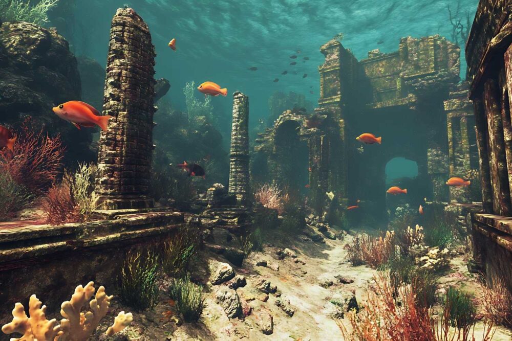
7. The “Brittany megalith” connection no one expected underwater
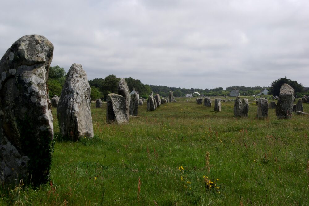
One reason this discovery lands so hard in Brittany is the comparison game. The region is famous for megaliths on land, from standing stones to aligned rows.
Researchers note that some underwater elements resemble later stone traditions nearby, raising the possibility of continuity in building know-how. If the dates hold, it flips the usual story: instead of farmers teaching everyone to build big, hunter-gatherer groups may have developed techniques earlier along the coast, then watched the sea erase their work.
8. A hint that coastal life was organized, not casual
It also hints at a coastline that was busy, not empty. To assemble a wall of this size, people needed tools, planning, and a reason to invest labor in one specific place.
That points to predictable resources, like fishing grounds, shellfish areas, or protected water routes. A “mobile” lifestyle can still include important hubs and seasonal returns. The wall suggests people were managing their environment, not just passing through it, long before written history started labeling who lived where, and why.
9. Sea level rise is the twist ending written into the stone
The sea level story is the plot twist. Around the time this wall was built, coastlines were shifting as ice melt raised oceans over centuries.
If you built close to the shore, you might be chasing a moving target. The wall could represent an attempt to hold back water, control tides, or mark a boundary that mattered to the community. Either way, the ocean eventually won. What survives now is a snapshot of humans reacting to climate and landscape change in real time.
10. Why it takes years to “read” a site like this
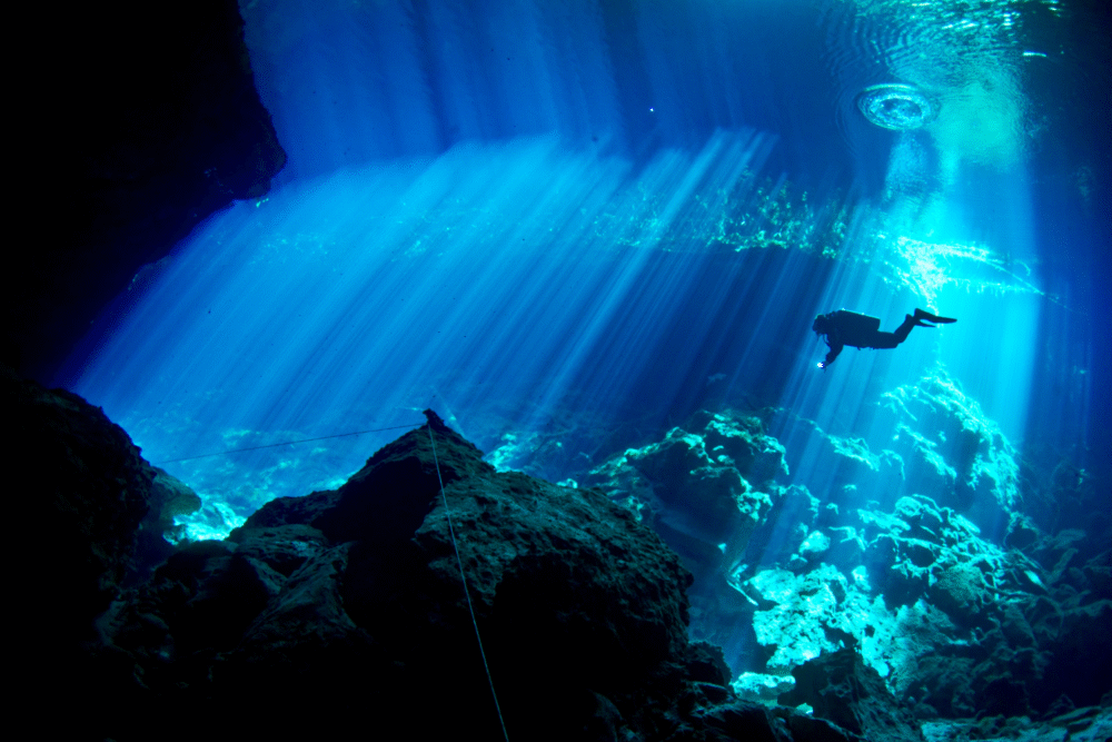
Underwater archaeology is slow, expensive, and weather-dependent, which is why finds like this can sit unnoticed for so long. Visibility changes, algae grows, and currents limit how long divers can work safely there.
That is why mapping and 3D models matter so much. They let researchers record the layout precisely and compare seasons, not just rely on memory or a few photos. Every measurement helps answer the big question: intentional design, or a pattern we are misreading from a distance?
11. Mystery is not myth, but it does change the map
Mystery doesn’t mean myth. Some headlines jump to “lost cities,” but the safer takeaway is more interesting: coastal life left big footprints, and we are only starting to see them.
This wall shows how much prehistory could be sitting offshore, especially where sea level rise drowned old landscapes. It also reminds us to be humble about timelines. The past is not a straight line from “simple” to “advanced.” Sometimes the evidence just quietly waited underwater, out of sight for centuries.
12. What researchers will look for next

What happens next is a mix of science and patience. Researchers will keep refining dates, searching for associated tools or sediments, and testing competing explanations for how the wall worked.
They will also look for more structures along the same drowned landscape, because one wall rarely exists alone. If similar sites are found, they could reshape how archaeologists describe early communities on Europe’s Atlantic edge. For now, the wall sits in place, still guarding its secret from the surface today.