
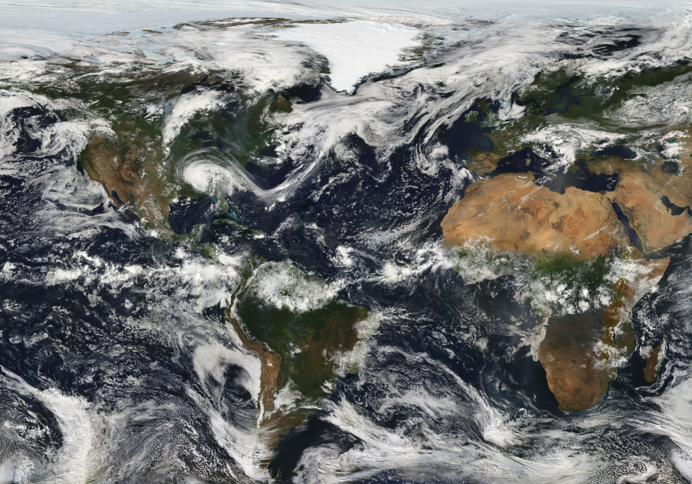
Rising ocean heat is fueling storms that grow stronger in hours, leaving little time to prepare.
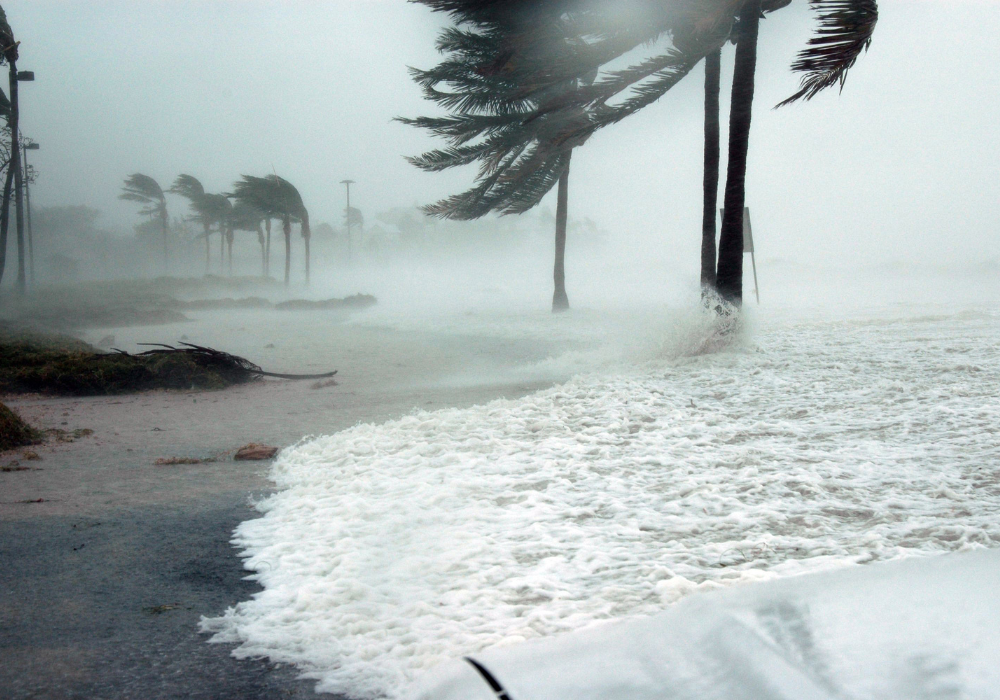
Remember when hurricanes used to slowly build up steam over several days? Those days are basically over. Climate change caused the maximum wind speeds generated by roughly 80% of Atlantic Basin hurricanes from 2019 and 2023 to intensify by an average of 18 miles per hour, and storms are now gaining terrifying strength in just hours instead of days.
Scientists have found that climate change is leading to more favorable conditions for hurricanes to strengthen more quickly, such as warmer waters. This rapid intensification catches everyone off guard – from weather forecasters to families trying to evacuate. What’s happening to our hurricanes is genuinely alarming, and it’s happening faster than anyone expected.
1. Ocean temperatures are hitting dangerous levels that supercharge hurricane formation
The Gulf of Mexico and Atlantic waters are running much hotter than normal, creating perfect conditions for storms to explode in strength. Hurricane Beryl rapidly intensified over sea surface temperatures that were about 3.2°F warmer than normal, and these elevated temperatures were made hundreds of times more likely by climate change.
When hurricanes move over these superheated waters, they’re basically getting an energy drink injection straight into their core. The warmer water evaporates faster, feeding more moisture and heat into the storm’s engine. It’s like pouring gasoline on a fire – the results are immediate and terrifying.
2. Storms are now breaking the sound barrier for how fast they can intensify
Hurricane Milton strengthened from a tropical storm to a Category 5 hurricane in just over 24 hours, which is absolutely mind-blowing by any historical standard. Milton became the third-fastest intensifying hurricane on record in the Atlantic Basin, showing just how extreme these changes have become.
Meteorologists used to have days to track a storm’s development and warn people accordingly. Now they’re watching storms explode from relatively weak systems to catastrophic monsters overnight. This speed leaves everyone scrambling – forecasters, emergency managers, and regular families trying to figure out if they need to evacuate.
3. The atmosphere is holding more water vapor, creating monster rainfall events

A warmer atmosphere acts like a bigger sponge, soaking up way more moisture than before. When hurricanes form in these conditions, they’re carrying massive amounts of water that eventually gets dumped on land. This isn’t just a little extra rain – we’re talking about catastrophic flooding that can destroy entire communities.
The physics are pretty straightforward: for every degree the air temperature rises, the atmosphere can hold about 7% more moisture. That might not sound like much, but when you’re dealing with a hurricane that’s already a massive weather system, that extra water translates to devastating floods that can last for days after the winds die down.
4. Hurricane Milton became one of the most powerful storms ever recorded in the Atlantic
Milton reached peak winds of 180 mph with a minimum central pressure of 895 mbar, making it the fourth-most intense Atlantic hurricane on record. Scientists called Milton “one of the most rapidly intensifying hurricanes we’ve ever seen in the Atlantic”, highlighting just how unprecedented this storm was.
What makes Milton so scary isn’t just its raw power, but how quickly it achieved that strength. The storm went from being a manageable tropical system to a historic monster in less time than it takes to binge-watch a Netflix series. This kind of explosive development is becoming the new normal, and it’s catching everyone off guard.
5. Climate change is creating the perfect recipe for rapid intensification events
Scientists have found that climate change is leading to more favorable conditions for hurricanes to strengthen more quickly, such as warmer waters. Recent research suggests that warmer sea surface temperatures may contribute to an increased fraction of tropical cyclones that undergo rapid intensification.
The conditions that used to be rare are now becoming routine. Hurricanes need specific ingredients to rapidly intensify: warm water, low wind shear, and atmospheric instability. Climate change is essentially making sure all these ingredients are available more often and in greater quantities. It’s like having a kitchen stocked with everything needed to cook up the perfect storm.
6. Every hurricane in 2024 got a climate change boost to its wind speeds
Findings show that maximum wind speeds for all eleven hurricanes in 2024 were increased by 3 to 14 miles per hour because of elevated sea surface temperatures caused by climate change. This means every single storm that formed was stronger than it would have been without human influence on the climate.
Even a few extra miles per hour might not sound like much, but hurricane damage increases exponentially with wind speed. A storm with 130 mph winds can cause dramatically more destruction than one with 125 mph winds. When every storm is getting this climate boost, we’re seeing more devastating impacts across the board.
7. Forecasters are struggling to predict these lightning-fast changes in storm strength
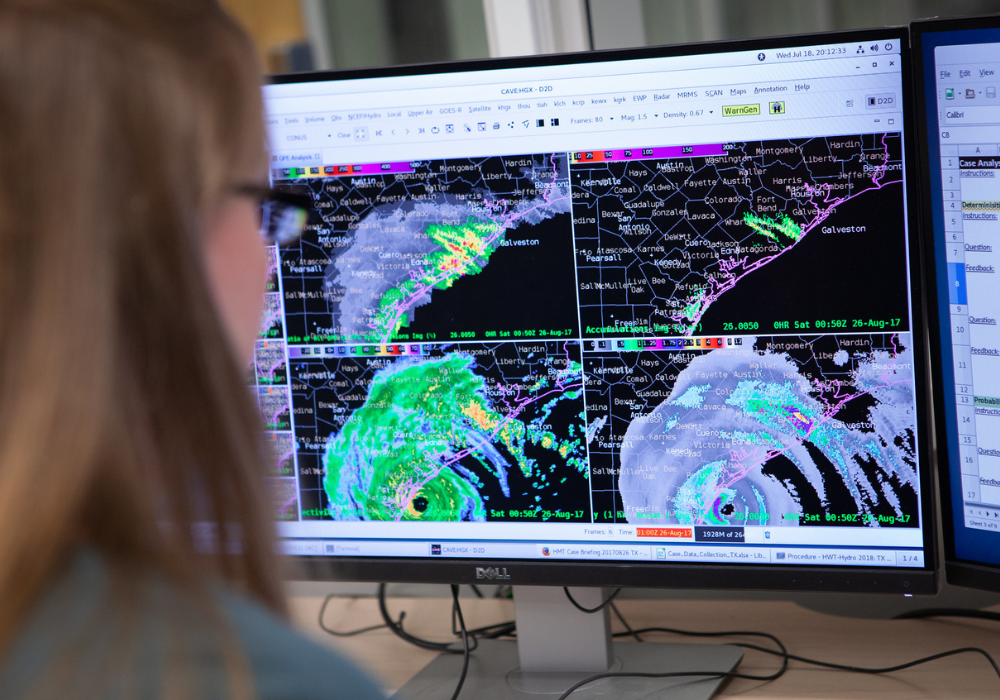
Forecasting rapid intensification can be challenging, which contributes to the high human and economic toll of such storms. Even with all our advanced technology and satellite monitoring, meteorologists are having trouble keeping up with how quickly storms are changing.
Traditional forecasting models were built based on historical patterns where hurricanes developed more gradually. Now that storms can explode overnight, those models often underestimate how dangerous a system might become. This creates a nightmare scenario where people think they’re dealing with a manageable storm, only to wake up facing a catastrophic hurricane.
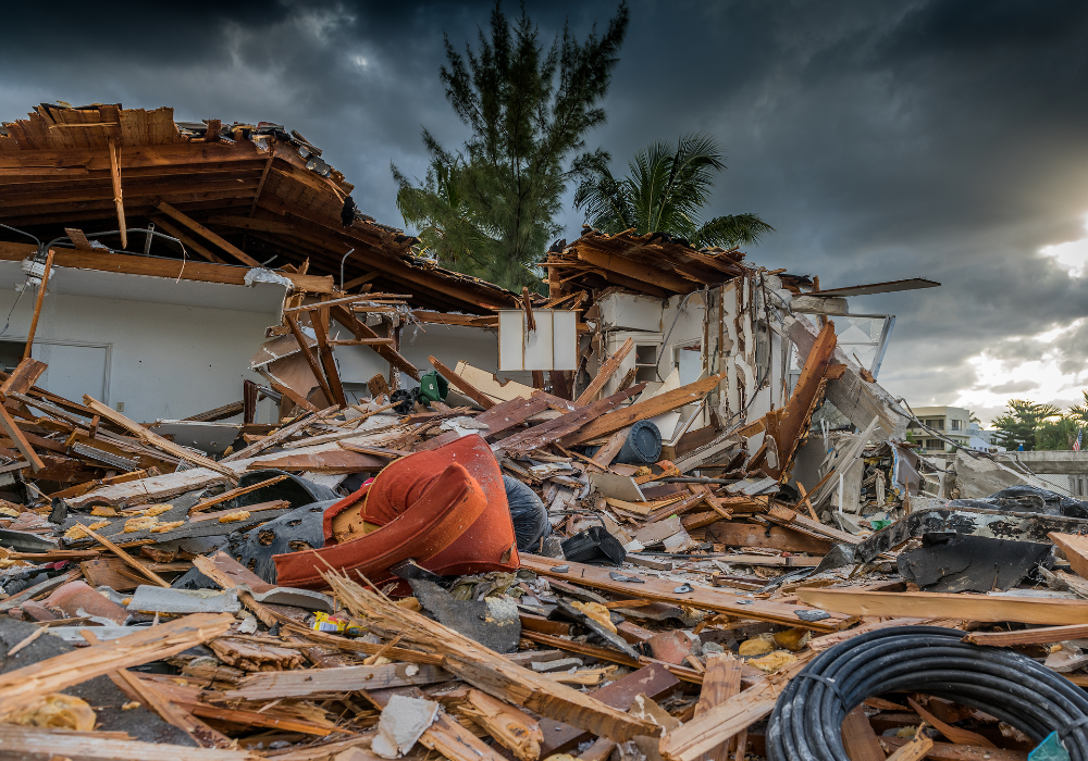
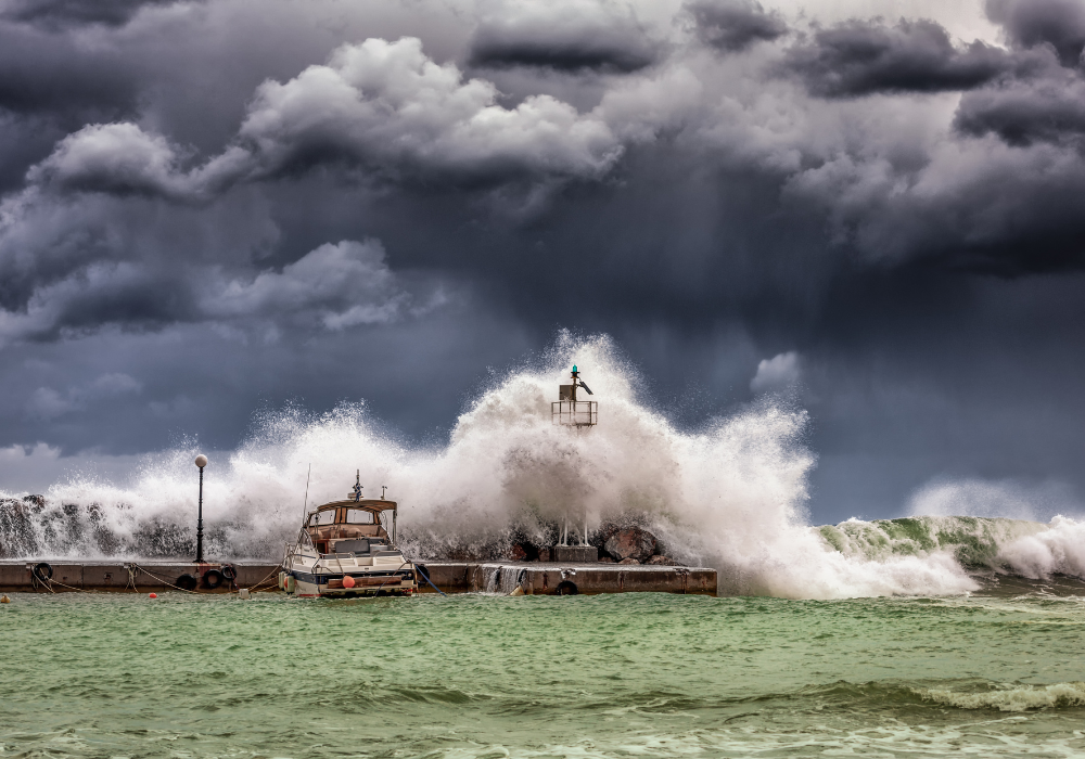
8. Rising sea levels are making storm surge threats exponentially worse

When hurricanes hit coastal areas, they’re now starting from a higher baseline thanks to rising sea levels. This means storm surge – the wall of water pushed ashore by hurricane winds – reaches further inland and causes more damage than ever before. Even a weaker hurricane can now cause flooding that would have required a much stronger storm decades ago.
The combination is deadly: more intense hurricanes with faster wind speeds pushing water inland, starting from seas that are already higher than they used to be. Coastal communities that thought they were safe from storm surge are discovering they’re now in the danger zone. Many evacuation plans and flood maps are becoming outdated as the rules of hurricane impacts completely change.
9. Warmer waters are staying warm deeper beneath the surface, fueling longer-lasting intensity

Ocean heat isn’t just a surface problem anymore – the warmth is penetrating much deeper than before. This means hurricanes can maintain their strength even as they churn up the water, because there’s still plenty of heat energy available below the surface. In the past, strong storms would often weaken themselves by mixing cooler deep water to the surface.
Now hurricanes are like cars with bigger gas tanks, able to maintain their power for much longer periods. This extended strength means storms can stay dangerous for more of their journey, affecting larger areas and maintaining destructive capability even as they move inland. The traditional weakening patterns that forecasters relied on are becoming less predictable.
10. Scientists can now directly link individual hurricane strength increases to human-caused warming
A rapid attribution analysis determined that ocean temperatures were made up to 400-800 times more likely by climate change during Hurricane Milton’s development. This kind of real-time analysis helps scientists draw direct connections between our changing climate and specific storm events.
This isn’t about general trends anymore – researchers can point to individual hurricanes and show exactly how climate change made them stronger. It’s like having fingerprints that prove human influence on each storm. This scientific capability is helping us understand that we’re not just dealing with natural variation, but with a systematic change in how hurricanes behave.
11. The definition of “rapid intensification” is becoming obsolete as storms exceed all previous records

Rapid intensification refers to a storm’s wind speeds increasing by more than 58 miles per hour in a 24-hour window, but recent storms are blowing past even these extreme thresholds. Meteorologists are now talking about “extreme rapid intensification” as a new category because the old definitions can’t capture what’s happening.
The scientific community is literally having to invent new terms to describe what they’re seeing. When Hurricane Milton jumped from tropical storm to Category 5 status, it wasn’t just rapid intensification – it was something meteorologists had never witnessed before. The storm broke so many records that scientists are questioning whether their measurement systems are adequate for this new reality.
12. River systems and rainfall patterns are creating unexpected intensification triggers
Freshwater from the Amazon-Orinoco river system appears to increase the chances of rapid intensification in the eastern Caribbean and western tropical Atlantic. This discovery shows that hurricane intensification isn’t just about ocean temperature – it’s about complex interactions between different water systems.
The science behind this is fascinating and terrifying. When freshwater sits on top of saltwater, it creates layers that prevent mixing, keeping the surface extra warm and available to fuel hurricanes. Climate change is increasing rainfall and river discharge, creating more of these perfect conditions for storm intensification. It’s like nature is accidentally creating hurricane launch pads in places we never expected.