
University of Miami researchers found parts of the city are sinking faster than expected.

When people hear that Miami is “sinking,” they often picture the ocean simply creeping higher. But a University of Miami–led study added a different layer to the story: parts of the city’s coastal strip are moving downward in uneven pockets, and some of that motion appears tied to the built environment itself.
It isn’t just water rising around South Florida. In certain places, the ground beneath buildings is also settling. That matters right now because Miami’s coastline is packed with dense development, expensive infrastructure, and neighborhoods already coping with flooding and high groundwater.
Small, measurable changes over time can add up—especially when they overlap with sea-level rise, drainage challenges, and extreme rainfall. Understanding where sinking is happening, how it’s detected, and what may be driving it is a key part of planning what comes next.
Click to see what the study says about the future of Miami.
1. What the University of Miami study actually found
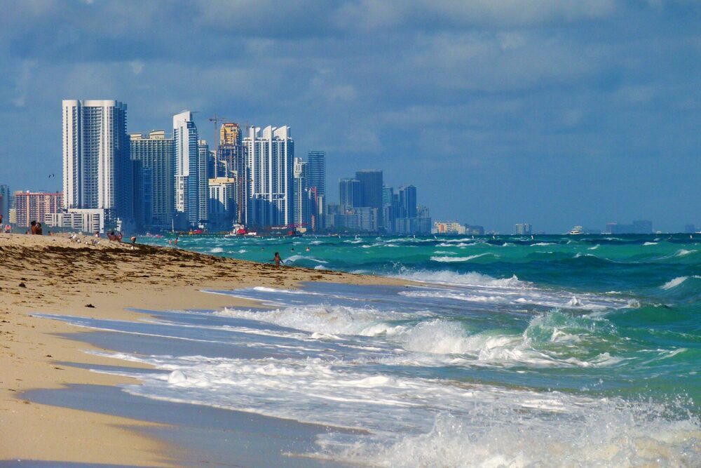
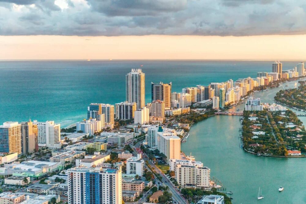
Researchers documented localized subsidence hotspots along Miami’s barrier-island coastline, including areas from Miami Beach north toward Sunny Isles Beach. The study identified 35 coastal buildings and nearby areas showing measurable downward movement during the study period.
The reported vertical displacement ranged from about 2 to 8 centimeters over the years analyzed. The key point is that this sinking was not uniform across the region—it appeared in pockets, which is why mapping and monitoring matter.
Follow us and access great exclusive content every day
2. The time window that made the “unexpected rates” stand out
The analysis focused on changes observed between 2016 and 2023. That window is long enough to separate short-lived construction settling from patterns that persist over multiple years.
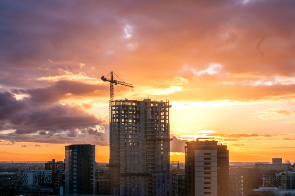
In many cases, newly built high-rises are expected to settle during and shortly after construction. What drew attention here is evidence that, for some locations, subsidence can continue beyond the early settling phase, and the pattern can be uneven from building to building.
3. How scientists can measure millimeter-scale sinking from space

The team used a satellite-based technique called interferometric synthetic aperture radar, often shortened to InSAR. It works by comparing radar signals from repeated satellite passes to detect tiny changes in the ground’s elevation over time.
Because the measurements can detect small shifts, InSAR is especially useful in flat coastal areas where gradual sinking may not be noticeable to residents. It also helps researchers see whether movement is widespread or concentrated in specific hotspots.
Follow us and access great exclusive content every day
4. Why the “hotspot” idea matters more than a single citywide number
When people talk about a city sinking, they often imagine one simple rate for the whole area. This study emphasizes that Miami’s sinking risk is more complicated than that. The most important changes can happen in limited zones rather than everywhere at once.
That matters for real-world decisions. Localized sinking can affect certain streets, buildings, utilities, and drainage systems more than others—even within the same neighborhood—because infrastructure depends on precise elevation and stable ground.
5. What the study suggests about construction and ongoing settlement
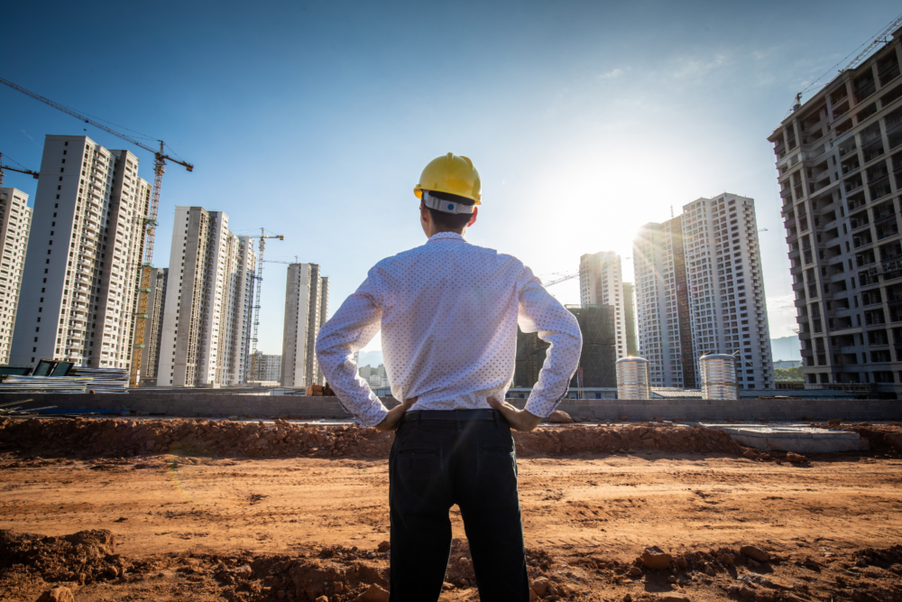
The research found that about half of the subsiding structures identified were built in 2014 or later. In many of these cases, the subsidence appeared to slow down over time, which fits the idea of construction-related settling that gradually tapers.
However, the study also noted that some locations showed subsidence that continued at a steadier pace. That difference is important: it suggests that “new building settling” may explain many cases, but not necessarily all of them in the same way or on the same timeline.
6. Why this is happening in Miami’s coastal geology
Large parts of the region sit on layers that include limestone and sand, with high groundwater that can move in response to tides, rainfall, and drainage changes. In areas like barrier islands, the subsurface can be particularly complex—more like stacked layers than a single stable foundation.
The sheer weight of high-rise buildings can compress underlying materials. Construction activity can introduce vibrations and changes in ground conditions. And because groundwater is so close to the surface in South Florida, shifts in water movement can influence how sediments settle and how the ground behaves over time.
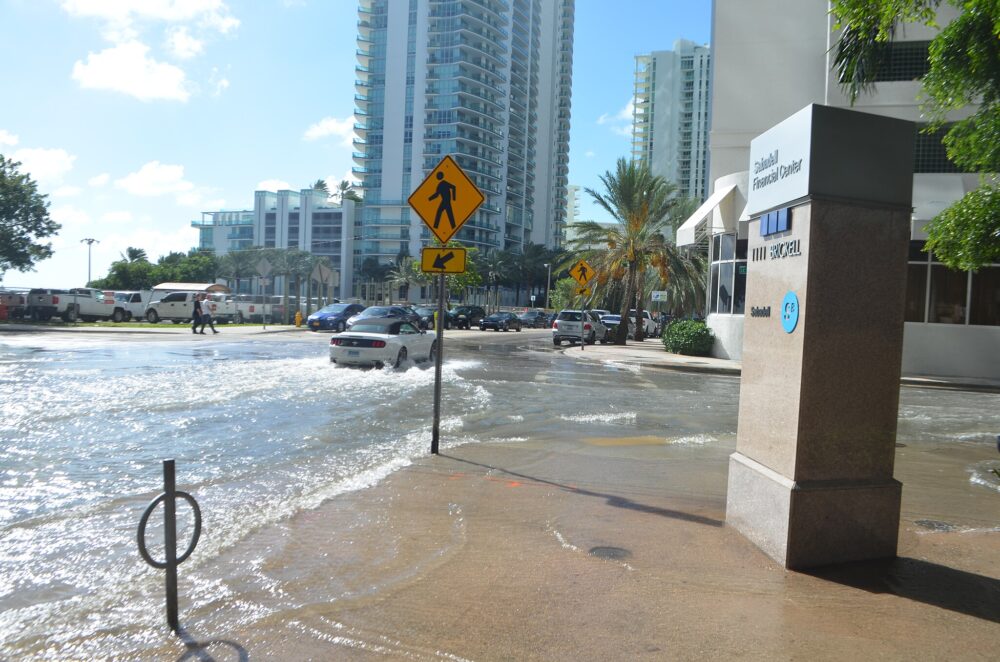
Even a few centimeters of sinking can matter when streets, seawalls, storm drains, and building systems rely on tight elevation margins—especially during king tides and heavy rain. That’s why researchers emphasize monitoring and mapping, not just reacting after problems appear.
Follow us and access great exclusive content every day
7. What the study does and does not say about building safety
It’s easy for headlines to make this sound like a warning of imminent collapse, but that isn’t what the research concludes. Measuring subsidence is not the same as diagnosing structural integrity. A building can experience some settlement and still be safe, depending on how the foundation and structure respond.
The study’s value is that it flags areas where continued observation makes sense. Questions about safety require engineers, inspections, and on-the-ground assessments—especially in a region where building maintenance and coastal conditions already demand attention.
8. Why Sunny Isles Beach drew special attention in reporting
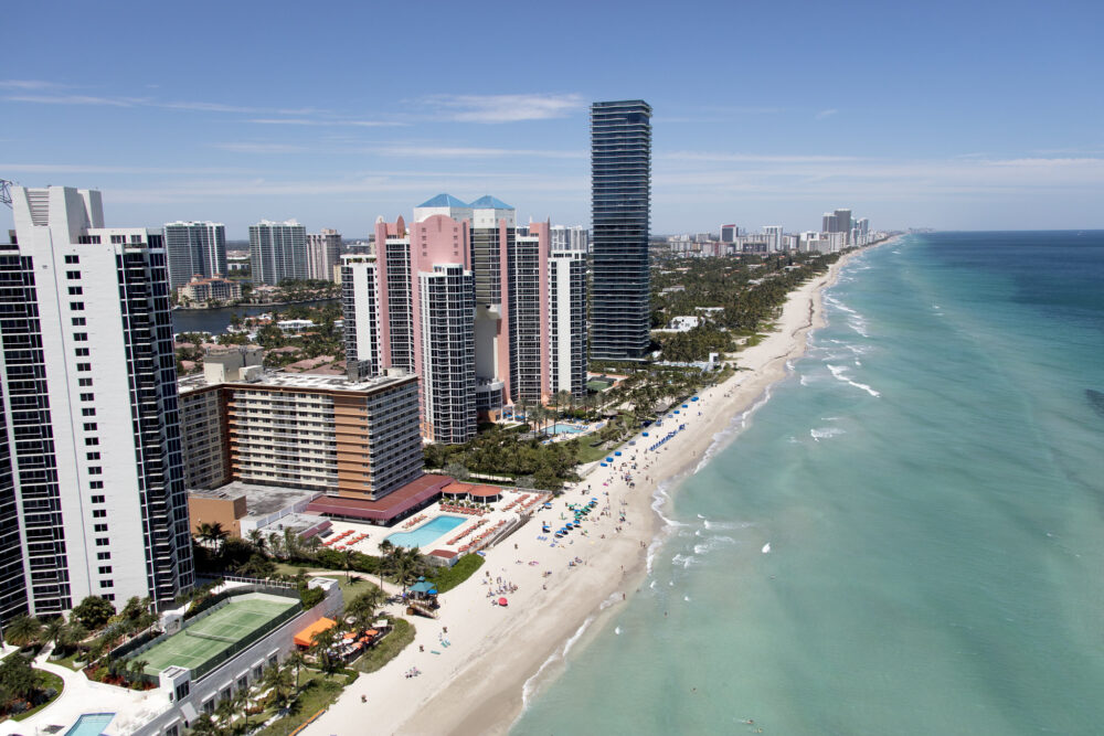
One area highlighted in coverage of the study was Sunny Isles Beach, where the research identified widespread subsidence signals among recently constructed high-rises. Reporting tied to the findings described a high share of newer buildings showing measurable sinking in that area during the study period.
This doesn’t mean every building is in trouble. It does suggest that some zones may be more susceptible than others due to local geology, building density, and development patterns—exactly the kind of insight hotspot mapping is meant to reveal.
9. How sinking interacts with sea-level rise in a way people can feel
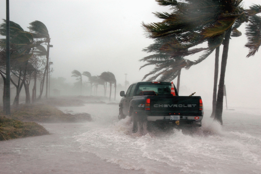
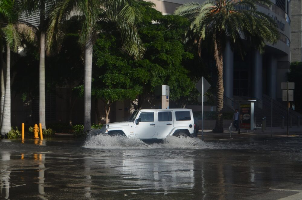
Sea-level rise raises the baseline water level. Subsidence lowers the ground. When both occur in the same place, the combined effect can make flooding risks worse than either factor alone would suggest.
That’s one reason coastal cities pay close attention to even small subsidence rates. A few centimeters of downward movement can change how water drains, how often streets flood, and how high seawater pushes during tides and storms.
Follow us and access great exclusive content every day
10. What residents and planners can realistically take from this
For residents, the most practical message is not to panic—but to understand that “flood risk” isn’t only about the ocean. Ground movement can be part of the picture, and it can vary by neighborhood and even by block.
For planners, the study supports a more targeted approach: keep monitoring hotspots, integrate subsidence data into infrastructure planning, and focus resources where elevation changes could have outsized impacts on drainage, roads, and utilities.
11. Why researchers say ongoing monitoring is the real next step
The study’s strongest contribution may be the reminder that coastal change is measurable, and that cities don’t have to guess. Satellite tools can track trends over time, spot where sinking persists, and help separate short-term settling from longer-term patterns.
Miami’s future planning will depend on knowing where risks are increasing and why. The sooner those patterns are tracked and cross-checked with ground observations, the more options the city has to adapt—before small changes become expensive problems.