With climate change accelerating, yesterday’s maps can’t predict tomorrow’s floods.
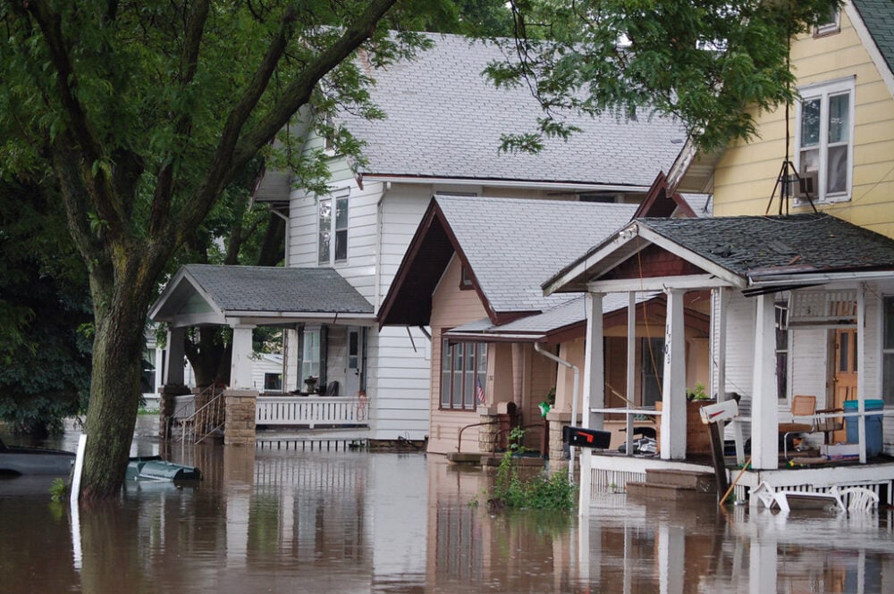
You may think you’re in the clear because FEMA’s flood map shows your home in a “low-risk” zone—but that map could be dangerously outdated. Across the U.S., millions of homeowners are relying on flood risk data that hasn’t kept pace with climate change, development, or rising sea levels. These aging maps can give a false sense of security—until the water’s at your doorstep.
Flood insurance, emergency plans, and even property values all hinge on understanding your real risk. If you’re not digging deeper, you may be gambling with your home. Here are 10 smart ways to get the full picture—before it’s too late.