
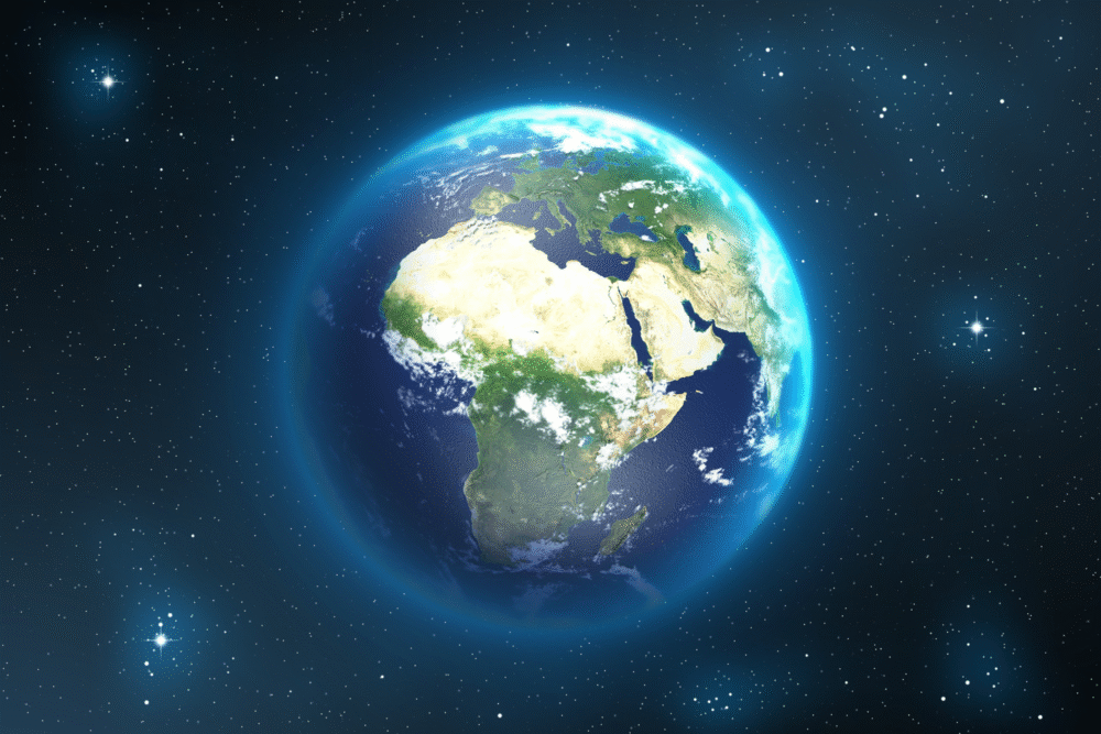
Tectonic forces along the East African Rift are steadily pulling the land apart and could eventually allow seawater to flood in.
Africa is not a fixed landmass frozen in time. Beneath its surface, powerful geological forces are slowly reshaping the continent. Across eastern Africa, a vast system of cracks and valleys marks where tectonic plates are pulling away from each other, stretching the land a little more each year. Over immense spans of time, that stretching could become dramatic enough to transform the continent itself.
Scientists say this process could eventually allow seawater to rush into the widening gap, forming an entirely new ocean basin. While the changes happen far too slowly to notice in a lifetime, the forces driving them are already active and measurable today.
1. Africa’s gradual split began millions of years ago
The East African Rift System has been developing for tens of millions of years as parts of the African continent slowly begin to pull apart. This immense rift stretches from the Horn of Africa down through eastern Africa, carving long valleys and fractures into the landscape.
Geologists study the region because it provides a rare look at how continents break apart. Instead of happening suddenly, the process unfolds in stages, with the crust thinning, cracking, and sinking as deeper forces push outward from below.
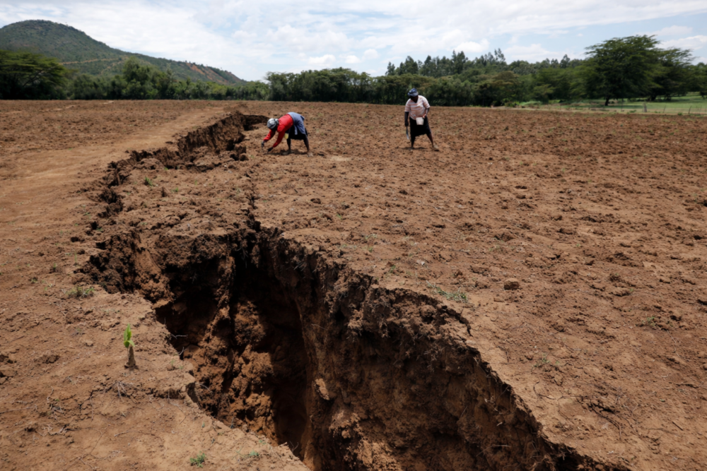
2. A sudden rupture revealed the process in real time
In 2005, the slow nature of continental rifting briefly turned dramatic. In northeastern Ethiopia, a massive fissure opened over a matter of days, ripping the ground apart and creating a visible gap that stretched for miles.
The event shocked researchers because such rapid movement is rarely seen on land. It offered a rare glimpse of the same forces that usually act beneath oceans, showing that Africa’s split is not theoretical but actively unfolding.
3. Tectonic plates are moving apart at measurable speeds
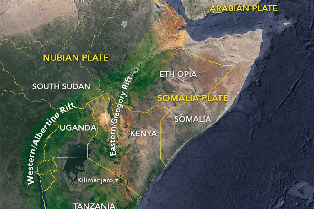
Thanks to GPS technology, scientists can now track the movement of tectonic plates with extreme precision. In East Africa, the Somali Plate is drifting away from the larger Nubian Plate by just a few millimeters each year.
That movement may sound insignificant, but over millions of years it adds up. If the plates continue to separate, the gap between them could eventually widen enough to allow water from nearby seas to pour in.
4. Heat from below is weakening the crust
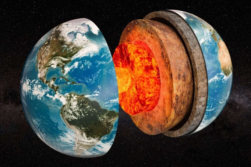
Plate movement alone does not explain the rift. Heat rising from deep within Earth plays a major role by softening and thinning the continental crust. As the rock heats up, it becomes more flexible and easier to stretch.
This geothermal activity also fuels volcanoes and hot springs across the region. These surface features are signs that powerful forces below are helping tear the continent apart from the inside.
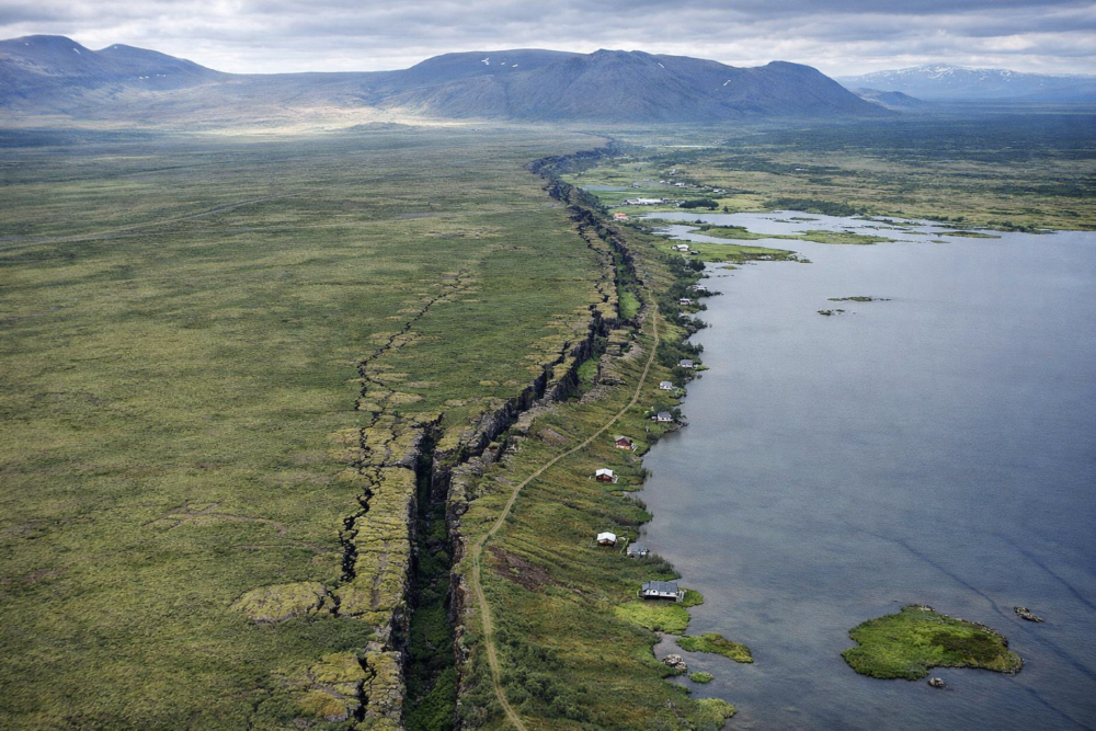
5. Rift valleys are the first step toward an ocean
As the land stretches, it does not break evenly. Long valleys form where blocks of crust drop downward along faults, creating the dramatic rift landscapes seen across East Africa today.
These valleys represent the earliest stage of ocean formation. Similar processes once shaped the Atlantic Ocean, which began as a continental rift before filling with seawater as the land pulled farther apart.
6. Seawater could eventually flood the rift
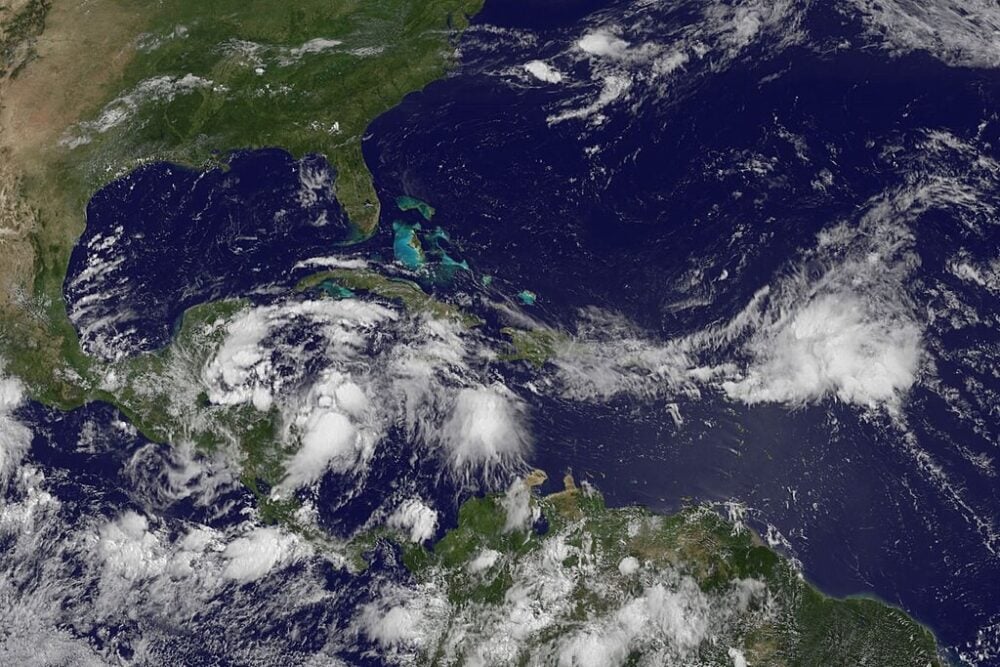
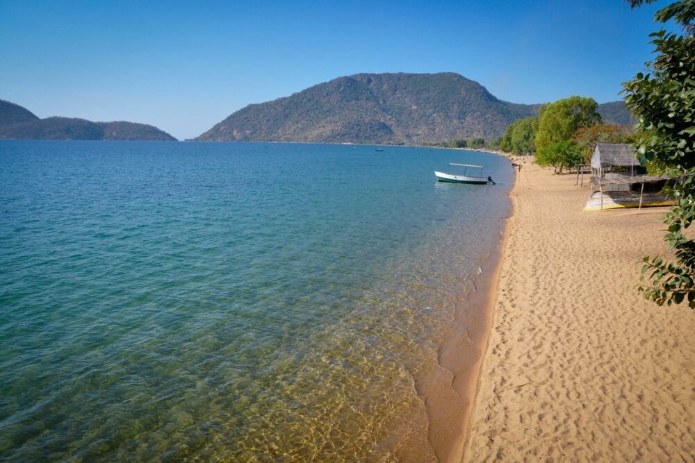
For a new ocean to form, the rift must widen enough to connect with existing bodies of water. While much of the East African Rift is currently landlocked, parts of it lie near the Red Sea and the Indian Ocean.
If the crust continues to thin and sink, seawater could one day flow into the rift, gradually creating a long, narrow sea that could expand over time into a full ocean basin.
7. Not every continental rift becomes an ocean
Geologists caution that rifting does not always succeed. Some continental cracks begin to form but eventually stall, leaving behind scars in the landscape without ever filling with water.
Whether East Africa’s rift will fully evolve into an ocean depends on whether the forces driving it remain strong and consistent over millions of years. For now, the outcome remains uncertain.
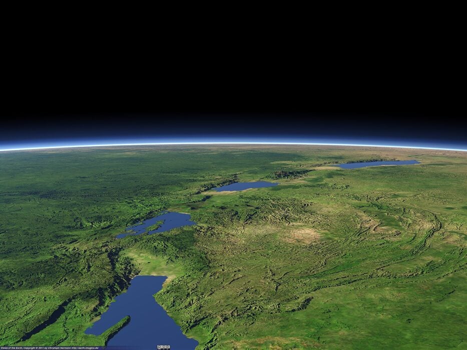
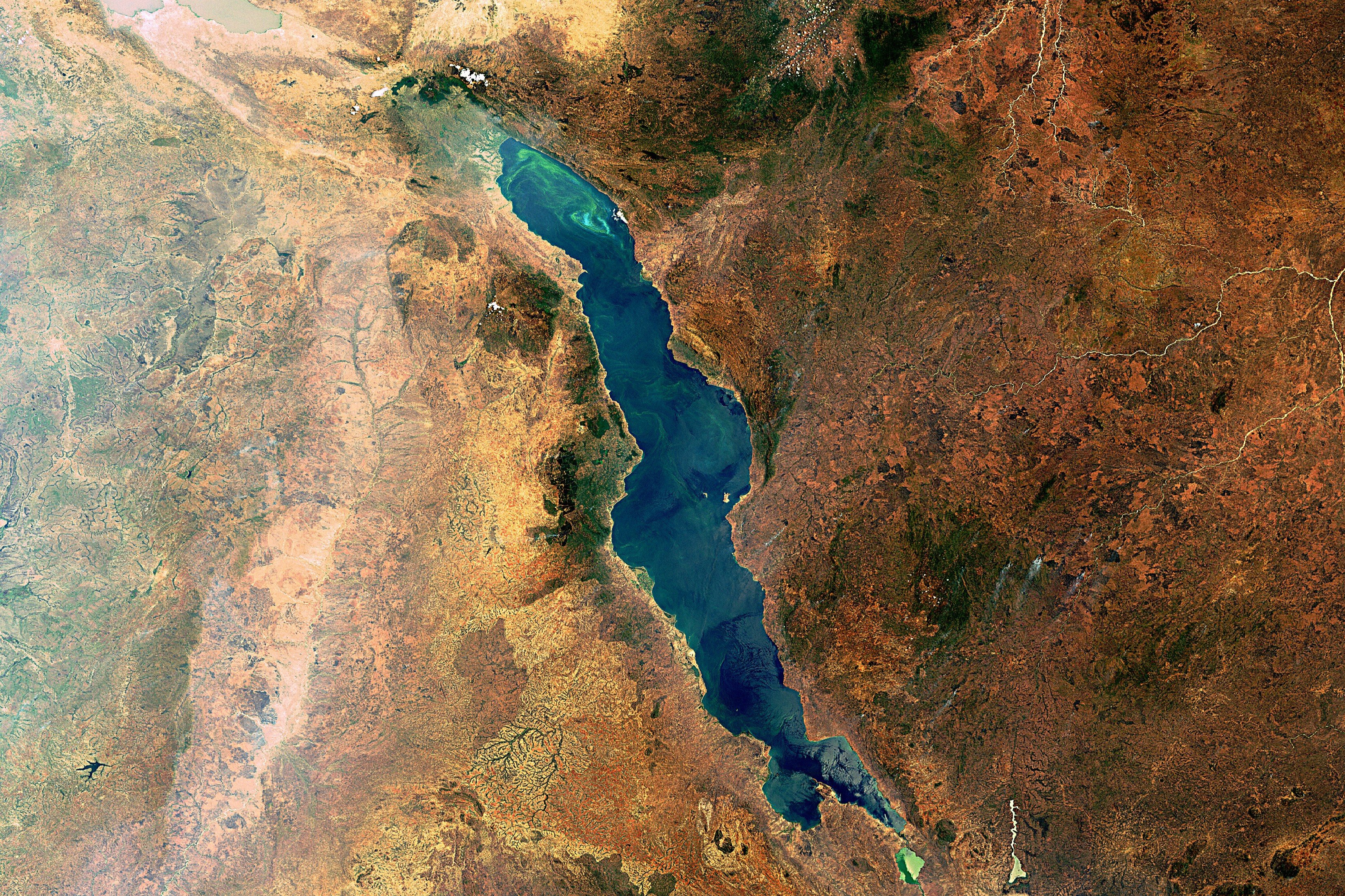
8. Lakes and terrain reveal the rift’s influence
Large lakes scattered across East Africa owe their existence to tectonic stretching. These lakes occupy depressions formed as the crust pulled apart and sank.
Their changing sizes over time reflect both tectonic movement and climate shifts. Together, they offer clues about how water interacts with rift systems long before oceans ever form.
9. Scientists are monitoring changes in real time
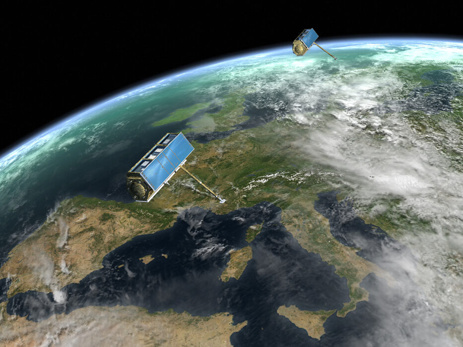
Modern satellites and ground sensors allow researchers to observe continental drift as it happens. Small shifts in the land surface, changes in elevation, and subtle plate movements are tracked continuously.
This real-time monitoring helps scientists refine models of how continents break apart. It also allows them to compare present-day changes with ancient geological records.
10. Earthquakes and volcanoes are part of the process
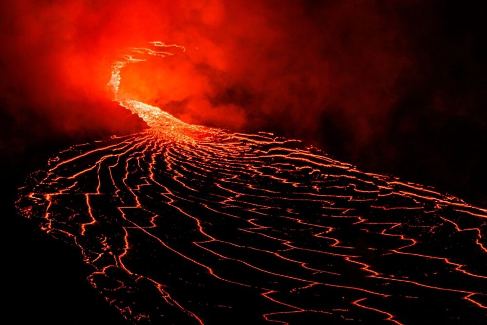
The same forces stretching the continent also trigger earthquakes and volcanic activity. As the crust fractures and magma moves upward, the region experiences frequent seismic events.
These processes shape the landscape and affect the people who live there, reminding us that deep geological changes are not just ancient history but active forces with modern consequences.
11. The distant future could reshape Earth’s map
If a new ocean eventually forms, Africa’s geography would change dramatically. New coastlines would appear, and parts of eastern Africa would become a separate landmass.
Although this transformation will take millions of years, understanding it helps scientists connect Earth’s past, present, and future. It offers a reminder that the planet’s surface is always changing, even when those changes unfold far beyond human timescales.