
Advancing satellite technology can capture astonishing detail from orbit, while privacy laws struggle to keep pace.
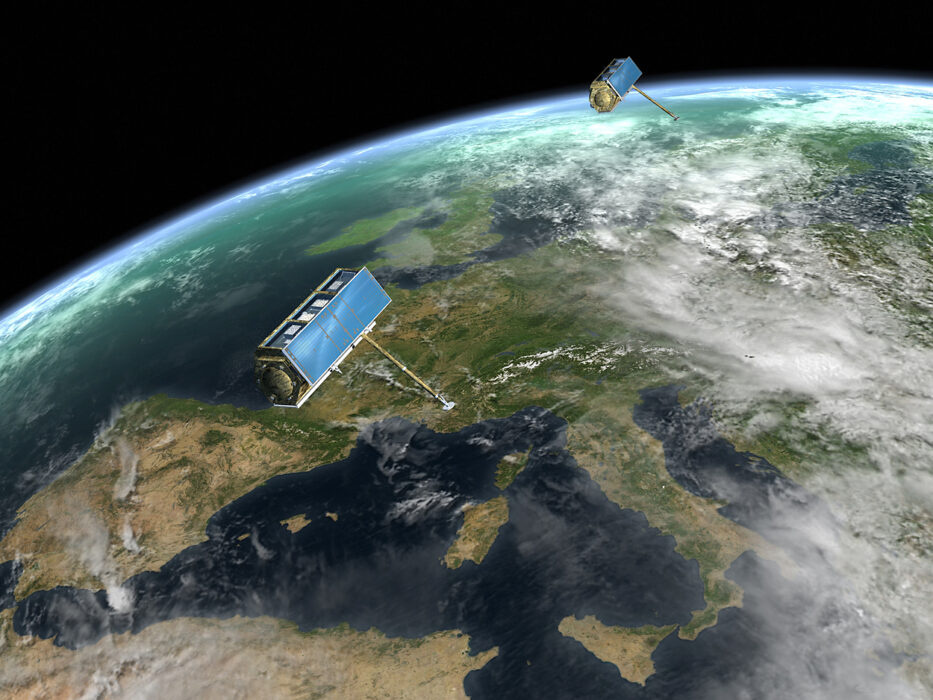
Satellites once meant grainy photos and broad weather patterns. Today, that picture has changed dramatically. Modern Earth-observing satellites can capture extremely detailed imagery, track movement over time, and detect subtle changes on the planet’s surface with remarkable precision. What used to feel distant and abstract now feels much closer to daily life.
Scientists say much of what satellites can do is misunderstood — some abilities are exaggerated, while others are underestimated. As the technology advances faster than laws and public awareness, questions about privacy, oversight, and how this data is used are becoming harder to ignore.
1. Satellite Imagery Has Become Sharper Than Most People Realize
Modern commercial satellites can capture images detailed enough to distinguish individual vehicles, small structures, and changes to landscapes over short periods of time. This represents a major leap from the blurry images many people still imagine.
While they can’t see faces or read text from orbit, the level of clarity is enough to track patterns of human activity. Experts say it’s this ability to observe change, not fine detail, that makes modern satellites so powerful.
2. Satellites Don’t Just Take Pictures — They Track Change
Today’s systems are designed to observe the same locations repeatedly, sometimes multiple times per day. This allows analysts to detect movement, construction, traffic patterns, and environmental shifts.
Rather than a single snapshot, satellites build timelines. That makes it possible to infer what’s happening on the ground, even when individual moments seem unremarkable on their own.
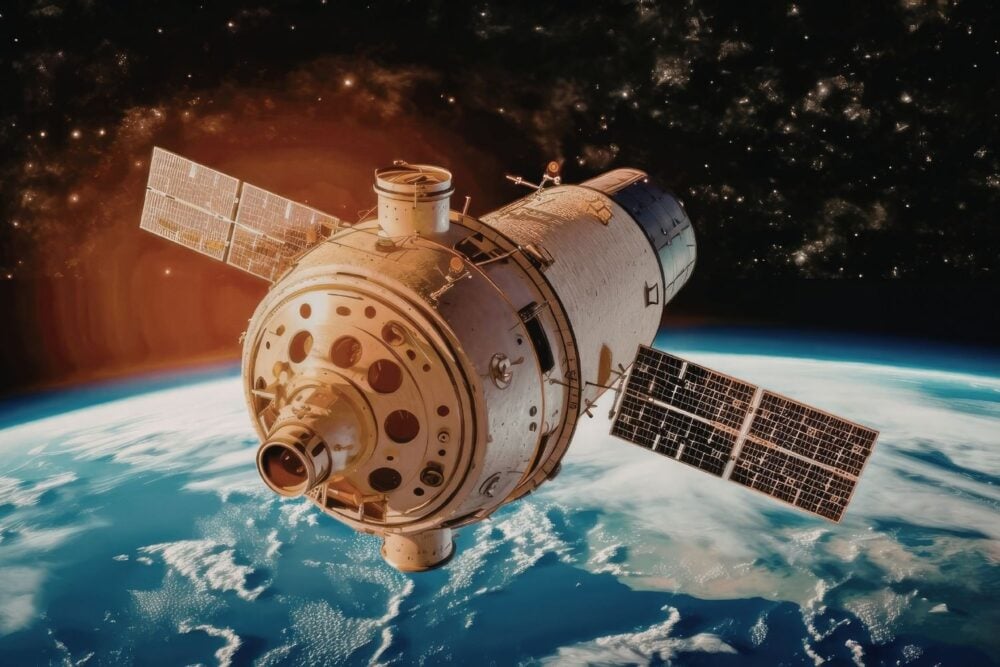
3. Infrared and Radar Expand What Satellites Can Detect
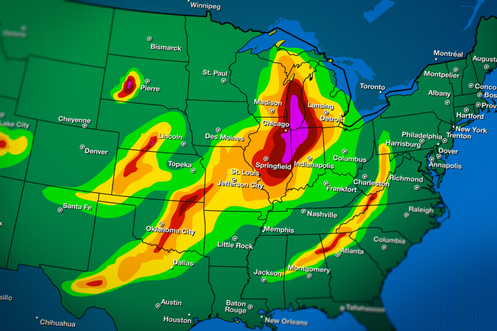
Beyond visible light, satellites use infrared and radar sensors to see heat signatures, moisture levels, and ground movement. These tools work day or night and through clouds.
This means activities once hidden by darkness or weather can still be monitored. Scientists stress these tools are essential for disaster response and climate research, but they also broaden surveillance capabilities.
4. Some “Superpowers” Are Exaggerated
Despite online myths, satellites cannot zoom in on people’s faces, read license plates from space, or look inside buildings. Physics and atmosphere place firm limits on resolution.
Experts say fear often comes from misunderstanding. Separating science fact from science fiction is critical for having realistic conversations about privacy and risk.
5. Pattern Recognition Is Where the Real Power Lies
What satellites lack in personal detail, they make up for in pattern detection. Repeated imagery can reveal routines, growth, decline, and movement over time.
Researchers note that privacy concerns aren’t about a single image, but about aggregation. When data is layered and analyzed, it can reveal far more than any one photo suggests.
6. Governments Aren’t the Only Ones With Access
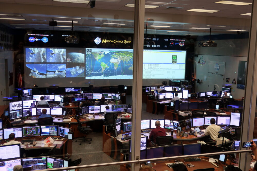
Many high-resolution satellites are operated by private companies, not governments. Their imagery is sold to researchers, corporations, and sometimes public agencies.
This commercialization raises questions about oversight. Laws that once applied mainly to state surveillance are struggling to adapt to a marketplace where powerful imagery is widely available.
7. Laws Haven’t Kept Up With Capability

Satellite regulations were written when technology was far less advanced. In many countries, there are few restrictions on how frequently areas can be imaged or how long data can be stored.
Legal scholars warn that regulation often reacts after problems emerge. By the time laws catch up, capabilities may have already moved several steps ahead.
8. Environmental Monitoring Drives Much of the Expansion
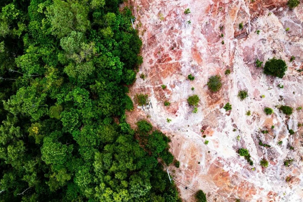
Much of this technology exists for positive reasons. Satellites play a critical role in tracking climate change, deforestation, wildfires, droughts, and flooding.
Scientists rely on consistent, detailed satellite data to understand global systems. The challenge lies in balancing these benefits with safeguards against misuse.
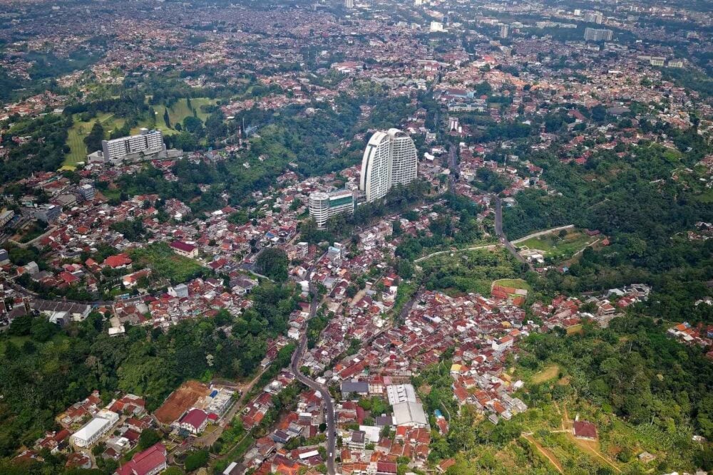
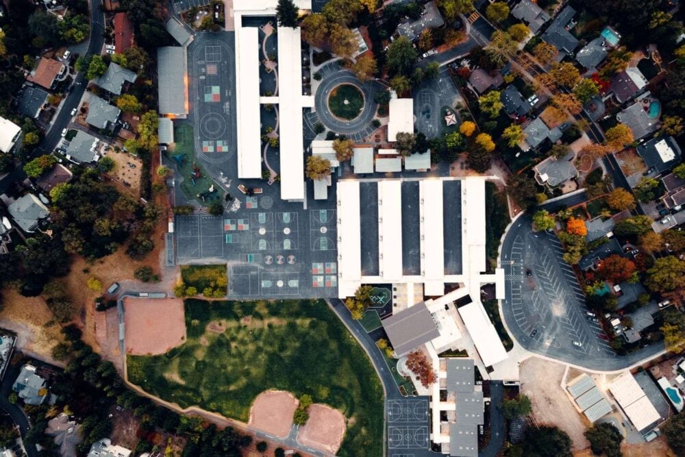
9. Urban Areas Are Becoming Increasingly Transparent
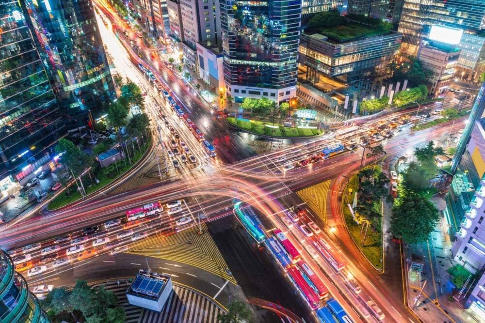
Cities are among the most frequently imaged places on Earth. Construction, traffic flow, and infrastructure changes are especially easy to track from orbit.
Experts say this growing transparency can help planners and emergency responders, but it also means urban life is more observable than ever before.
10. Public Awareness Is Lagging Behind Technology
Surveys show many people still associate satellites mainly with weather forecasts or navigation. Few understand how advanced Earth observation has become.
Researchers argue that informed public discussion is essential. Without it, decisions about privacy and data use are left to a small group of technical and legal experts.
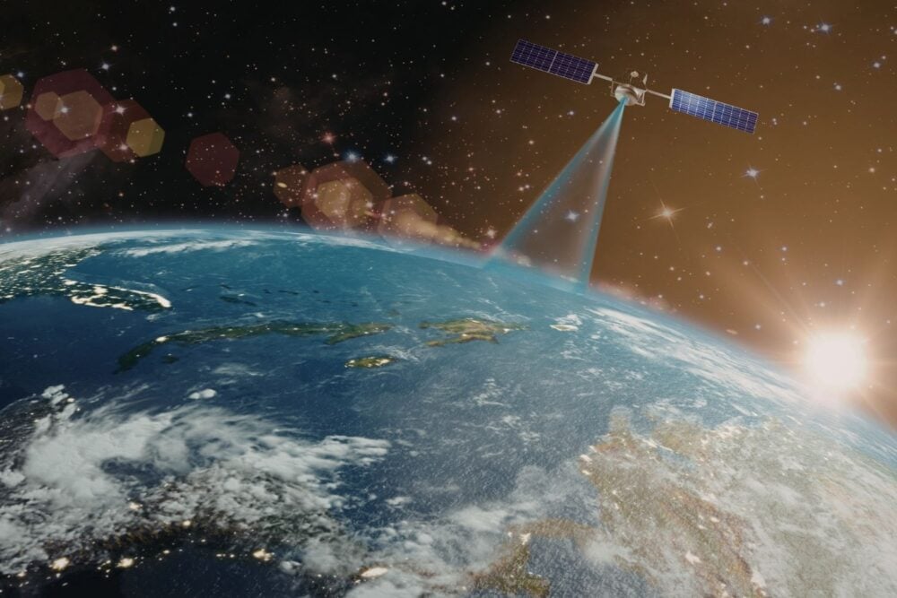
11. Space No Longer Feels Distant

As satellites observe Earth with increasing precision, the idea of space as “far away” no longer holds. Orbiting technology is deeply woven into daily life.
Scientists say the question isn’t whether satellites should exist, but how societies choose to govern their use. Understanding what satellites can actually see is the first step toward meaningful oversight.