
Meteorologists warn that heavy snow, flooding rains, and strong winds could disrupt travel and daily life across several regions.
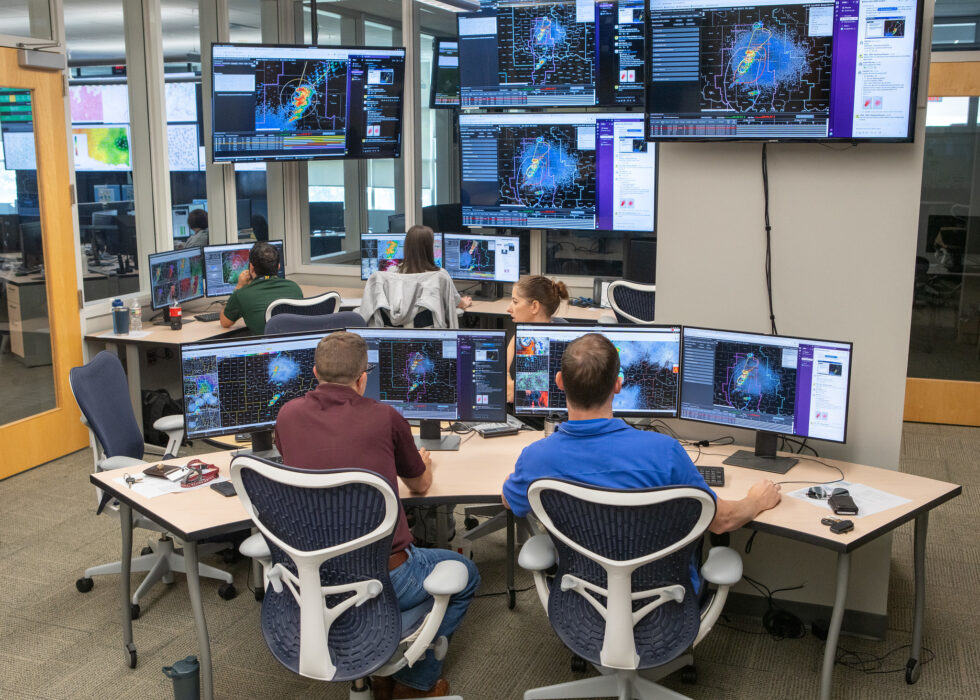
A series of storm systems is moving across the United States this week, bringing a mix of heavy snow, flooding rain, strong winds, and rapid temperature changes to several regions. Forecasters say shifting jet-stream patterns are allowing multiple disturbances to form in quick succession, increasing the likelihood of hazardous weather from coast to coast. As these systems interact, conditions may vary widely by location, with some areas facing winter hazards while others see heavy rain or thunderstorms. Officials are urging travelers and commuters to monitor local forecasts closely.
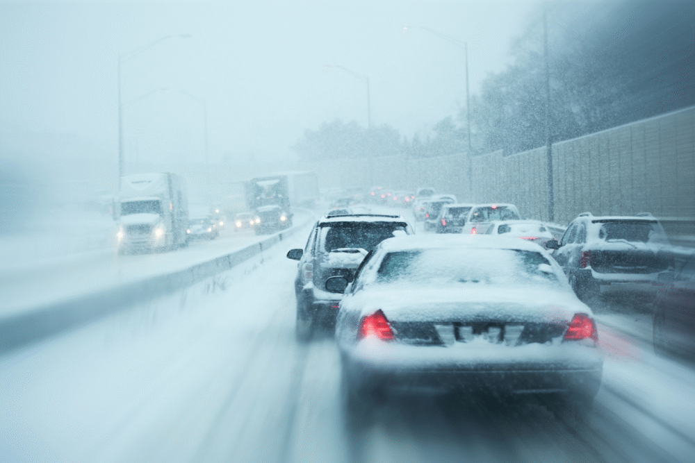
1. A Winter Storm System Is Impacting Parts of the Northern U.S.

Forecasters report that a winter storm system moving across the northern tier of the country is bringing snow, freezing rain, and gusty winds to areas prone to early-season cold. Regions at higher elevations or farther inland may experience the heaviest snowfall as temperatures remain below freezing. These conditions could create slick roads and reduced visibility for drivers.
Meteorologists note that such systems are common when cold Arctic air dips southward and interacts with passing low-pressure centers. Even moderate snowfall can cause travel challenges, especially in areas experiencing fluctuating temperatures that lead to ice formation.
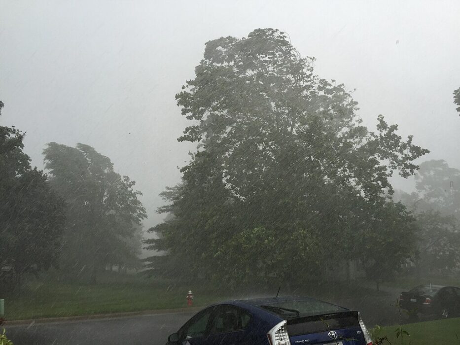
2. A Pacific System Is Producing Heavy Rain in the West

Moisture-laden storm systems arriving from the Pacific are delivering periods of heavy rain to coastal and inland areas in the western United States. These storms can bring localized flooding, especially where recent rainfall has already saturated the ground. Some higher elevations may see snow as colder air filters in behind the system.
Experts say this pattern often appears when strong onshore flow pushes moisture inland. Communities near rivers, foothills, or burn scars may face increased runoff or minor landslides. Residents are encouraged to stay alert for advisories as rainfall rates vary by region.
3. Strong Winds Are Developing Along Several Fronts
As multiple weather systems cross the country, strong winds are forming along cold and warm fronts connected to shifting pressure patterns. These gusty conditions can impact travel, down small tree limbs, and cause isolated power outages. Open areas such as plains or coastal regions tend to feel the strongest winds.
Meteorologists explain that sharp temperature contrasts between air masses can intensify wind speeds. Even outside areas receiving rain or snow, high winds may remain a significant hazard. Drivers of high-profile vehicles should take precautions, especially on exposed roadways.
4. Thunderstorm Activity Is Increasing in Parts of the South
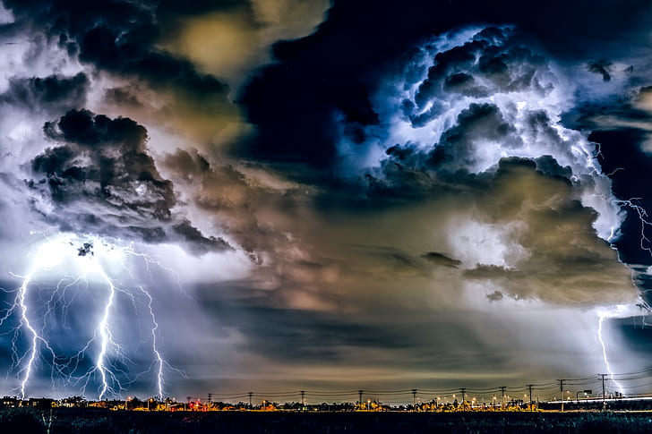
Warm, moist air moving north from the Gulf of Mexico is interacting with approaching fronts, creating conditions favorable for thunderstorms in parts of the southern United States. While many storms may remain non-severe, some could produce heavy downpours and frequent lightning.
Forecasters say this setup is typical when warm-season moisture meets the stronger dynamics of approaching winter systems. Brief but intense rainfall may lead to ponding on roads and reduced visibility for drivers. Residents should watch for locally issued statements as atmospheric instability shifts from day to day.
5. Temperature Swings Are Affecting the Midwest

The Midwest is experiencing notable temperature fluctuations as different systems pass through. Warm air ahead of fronts may raise temperatures briefly before sharp drops follow behind each disturbance. These rapid changes can create patchy fog, slick morning conditions, or refreezing where precipitation recently fell.
Meteorologists note that such temperature swings are expected when the jet stream becomes more active. Even without heavy precipitation, these shifts can affect daily routines, heating needs, and driving conditions. Travelers should be prepared for quick transitions.
6. Flooding Risks Are Rising Where Rainfall Repeats

Areas receiving multiple rounds of rainfall may face increasing flood risks, especially where soils are already saturated. Low-lying roads, small streams, and urban drainage systems can become stressed as additional moisture arrives from successive fronts or storms.
Weather experts emphasize that flooding does not require extreme rainfall if storms return frequently to the same region. Monitoring local advisories helps residents stay aware of changing conditions, particularly in places with previous flooding this season.
7. Mountain Regions Are Seeing Heavy Snow and Hazardous Travel

Higher elevations across the western and northern United States are receiving significant snowfall from passing systems. Snow accumulation may be steady rather than extreme, but prolonged periods of snow can still create hazardous travel conditions over mountain passes.
Forecasters explain that moist air rising over mountains cools rapidly, enhancing snowfall rates. Drivers should be aware of chain requirements and changing road conditions. Even after storms exit, strong winds may create blowing snow and drifting.
8. A Strengthening Jet Stream Is Powering These Systems
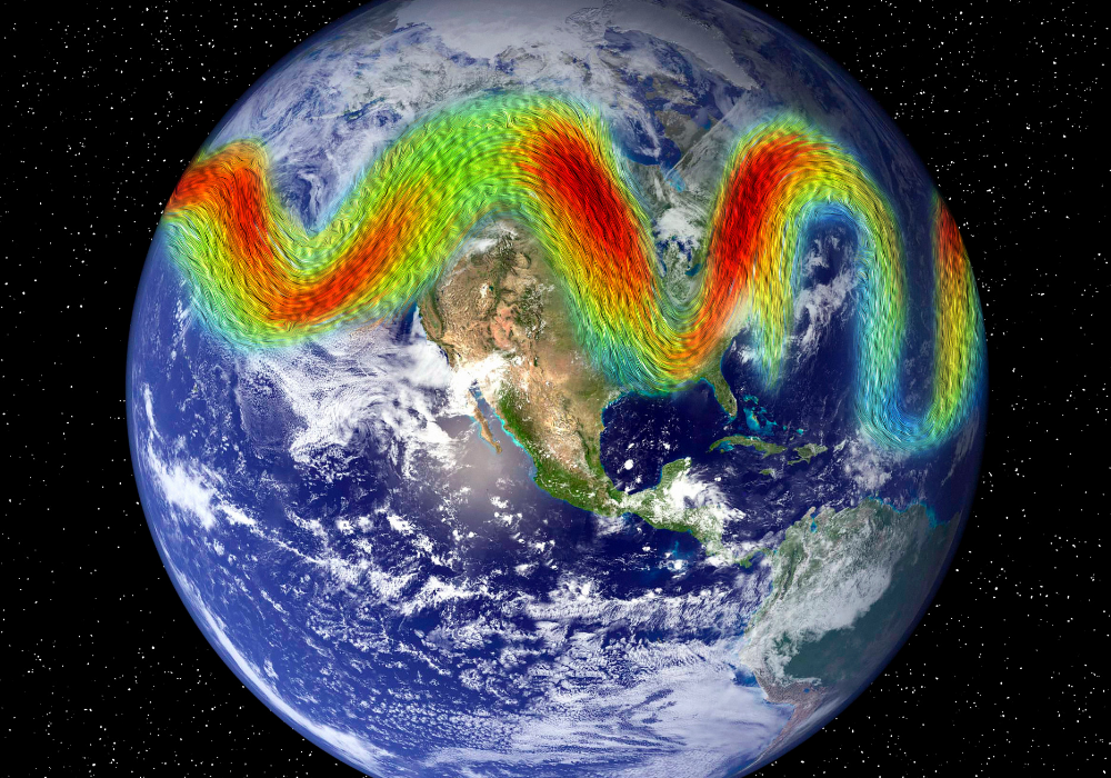
Meteorologists report that an increasingly active jet stream is helping multiple storm systems form and move quickly across the country. Strong upper-level winds guide storms from west to east, allowing new disturbances to develop before the previous ones fully exit.
This pattern is common during periods of seasonal transition. While the storms may vary in strength, their rapid succession increases the likelihood of widespread impacts. Experts recommend staying updated as forecasts evolve with each system.
9. Air Travel May Be Affected in Several Regions

Airports in regions experiencing snow, heavy rain, or strong winds may see delays or cancellations as the systems progress. Even areas not directly in a storm zone can encounter ripple effects from disruptions in major hubs.
Aviation officials note that low visibility, icing, and turbulence are common challenges during active weather periods. Travelers should check flight statuses frequently and allow extra time when navigating busy terminals during stormy conditions.
10. Officials Urge the Public to Monitor Local Forecasts
Because each system affects different regions with varying intensity, officials encourage residents to follow updates from local National Weather Service offices. Hazards can differ widely, from snow and ice to flooding rain or severe thunderstorms.
As forecasts refine, localized alerts may be issued to warn residents of specific threats. Staying informed helps communities prepare for shifting conditions and reduces risks associated with rapidly changing weather.