
A rare La Niña weather pattern paired with a shaky polar vortex could bring a winter of deep freeze and surprise storms to the U.S.
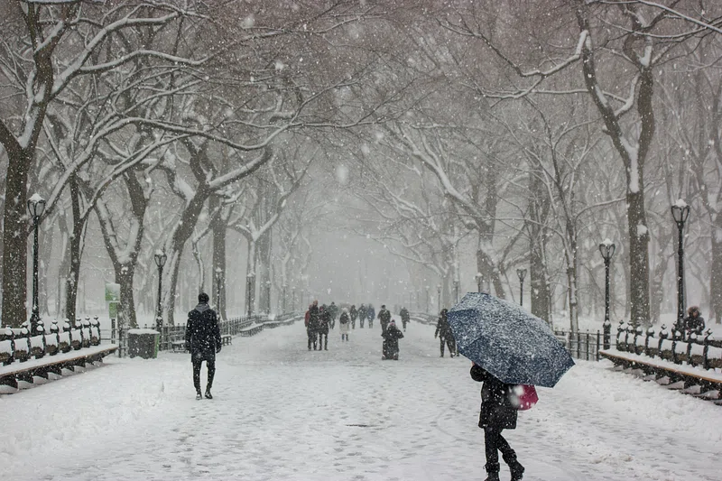
Forecasters are keeping a close eye on the 2025–26 winter as a weaker-than-usual La Niña takes hold and the polar vortex shows signs of instability. According to the National Oceanic and Atmospheric Administration, cooler Pacific waters suggest a continuation of La Niña conditions, which historically bring colder vistas to the northern U.S. Meanwhile, disruptions in the polar vortex could send Arctic air further south than usual. Together, these factors hint at a winter that may surprise many with cold and snow.
1. La Niña Is Expected to Influence the 2025–26 Winter

Forecasters say La Niña conditions are expected to persist into winter, meaning cooler-than-average water in the central and eastern Pacific. This pattern alters the jet stream and tends to shift storm tracks across the U.S.
Historically, La Niña winters bring colder conditions to the northern tier of the country and warmer, drier weather to the South. While every La Niña behaves differently, NOAA notes that its presence alone increases the odds of a more volatile season.
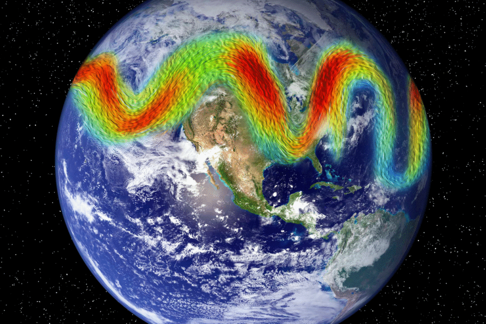
2. A Weak Polar Vortex Could Let Arctic Air Spill South
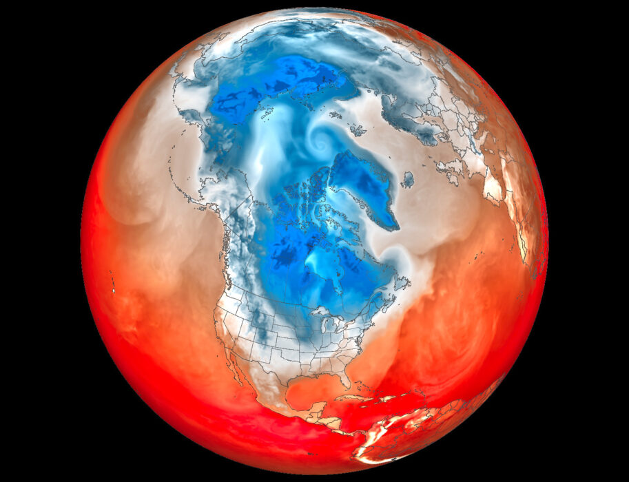
The polar vortex—a band of strong winds circulating around the Arctic—helps keep freezing air locked near the North Pole. But scientists are watching for signs of weakening, which can occur when the stratosphere warms suddenly.
If the vortex destabilizes, it becomes more likely that frigid Arctic air will plunge into parts of the U.S. Such events have happened several times over the last decade, producing severe cold snaps even in normally mild regions.
3. Northern States Could See Colder-Than-Average Temperatures
La Niña often strengthens the northern jet stream, sending colder air into states such as Montana, the Dakotas, Minnesota, Wisconsin, and Michigan. Early modeling from NOAA suggests this pattern may repeat for 2025–26.
While exact temperature forecasts are still months away, climatologists say the northern U.S. should prepare for more frequent cold spells, especially if the polar vortex weakens at the wrong time.
4. Snowstorms May Track Across the Midwest and Great Lakes
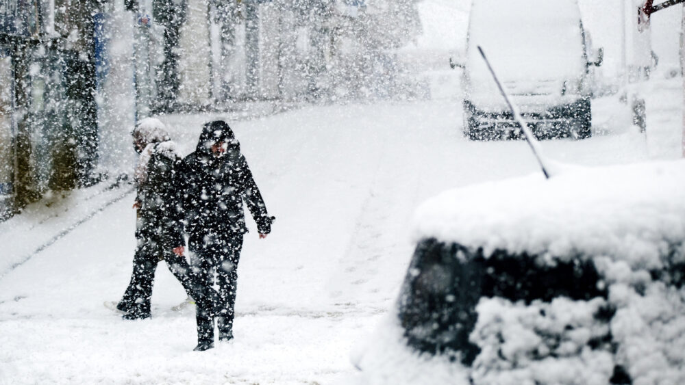
During La Niña winters, storms frequently track from the Pacific Northwest through the Midwest and Great Lakes region. That route often fuels heavier snow events, thanks to moisture from the Pacific meeting cold northern air.
If the polar vortex dips south, these regions could see increased snowfall or more intense storm systems. These patterns have been observed in several previous La Niña winters, including 2010–11 and 2021–22.
5. The Pacific Northwest Could Be Wetter Than Usual

NOAA’s long-range outlook shows a higher chance of wetter-than-average conditions across Washington, Oregon, Idaho, and parts of northern California. La Niña tends to funnel moisture into the region through an enhanced jet stream.
This could translate to more frequent rain events at lower elevations and increased mountain snowpack—beneficial for water supply, but potentially challenging for winter travel.
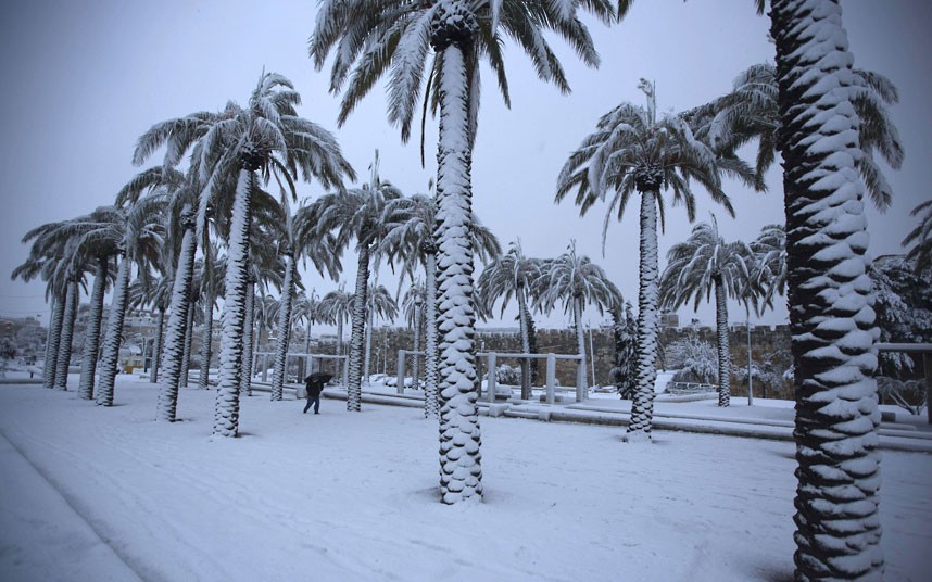
6. Southern States May Experience a Warmer, Drier Winter
La Niña typically shifts the jet stream north, leaving much of the South—Texas, Louisiana, Mississippi, Alabama, Georgia, and Florida—warmer and drier than average. Early forecasts suggest a similar pattern for 2025–26.
This kind of setup can increase drought risks or prolong existing dry conditions. It may also reduce the number of cold-weather systems reaching the Gulf states.
7. Eastern States Could See Wide Weather Swings
The East Coast often feels the effects of both La Niña and polar vortex behavior, making the forecast highly variable. Some La Niña winters bring mild spells, while others swing sharply between warm and frigid conditions.
If the polar vortex destabilizes even briefly, the Northeast and Mid-Atlantic could experience sudden cold blasts or rapid temperature drops. This volatility is one reason forecasters stress caution when predicting Eastern winter outcomes.
8. Extreme Cold Events Are Possible—But Not Guaranteed
A weakening polar vortex increases the chance of strong cold outbreaks, but it does not guarantee them. NOAA emphasizes that the timing and strength of any disruption would determine its impact on U.S. weather.
If a vortex collapse happens in mid-winter, cold air can spill south for weeks. If it occurs late in the season, its effects may be far less dramatic. Scientists continue to monitor early signs in the stratosphere.
9. Winter Storm Frequency Depends on Jet Stream Position
Both La Niña and the polar vortex influence the jet stream, which acts as a storm highway. A more energetic jet stream can bring frequent fast-moving systems, while a wavier jet stream can trap cold air or moisture in place.
Depending on how these patterns interact, some regions could see back-to-back storms, while others may experience longer quiet periods. This is one of the biggest uncertainties for the 2025–26 season.
10. Climate Change Shapes the Background Conditions

Experts note that climate change does not cause La Niña or polar vortex events, but it affects the background climate in which they occur. Warmer atmospheric conditions can shift precipitation patterns and alter how storms behave.
For winter weather, this can mean heavier precipitation in some areas, reduced snow in others, and more extreme temperature swings overall. Scientists stress that natural climate patterns now interact with a warmer baseline than in decades past.
11. Forecasters Say Preparation Is Key
Meteorologists caution that long-range forecasts highlight probabilities, not certainties. Still, the combination of La Niña and a potentially unstable polar vortex offers enough clues for communities to prepare for a dynamic winter.
NOAA recommends paying close attention to updated outlooks as the season approaches. Even with early indicators, the exact timing of cold spells, storms, and pattern shifts won’t become clear until late fall.