
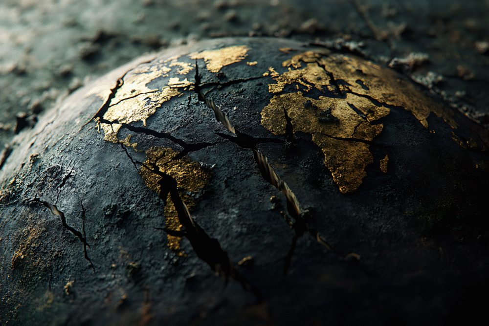
A deep underground fracture is drawing scientific attention along North America’s Pacific coast.
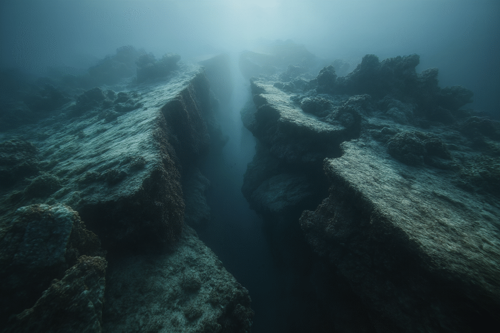
Far beneath the forests and coastlines of the Pacific Northwest, scientists have discovered that Earth’s crust is slowly tearing apart. Using satellite and seismic data, researchers detected a widening rift zone deep underground, a process that could one day alter the region’s landscape. While the movement is unfolding over millions of years, it offers rare insight into how continents evolve and separate. For geologists, it’s a living snapshot of Earth’s restless, ever-changing interior.
1. A Hidden Rift Lies Deep Beneath the Pacific Northwest

Scientists studying seismic and GPS data have discovered subtle but persistent shifts in the Earth’s crust beneath the Pacific Northwest. These movements indicate that the region sits atop a slow-forming rift — a place where the planet’s outer shell is stretching and thinning.
Unlike a single fault line, a rift develops over millions of years as tectonic plates move apart. While imperceptible to humans, these deep shifts are part of the same processes that eventually form ocean basins and mountain chains.
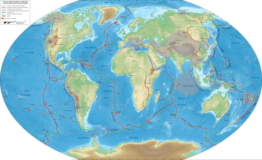
2. The Region Is Built on a Complex Tectonic Puzzle

The Pacific Northwest sits atop one of the most geologically active zones on Earth, where several major plates — the Juan de Fuca, North American, and Pacific plates — converge. These overlapping boundaries create a dynamic crust under constant stress.
At the heart of this system is the Cascadia Subduction Zone, where the Juan de Fuca Plate is slowly sliding beneath the continent. The intense pressure between these plates drives earthquakes, volcanic activity, and gradual crustal deformation throughout the region.
3. GPS Data Reveals Earth’s Subtle Movements
Over the past two decades, high-precision GPS networks across Oregon and Washington have detected minute shifts in ground position — often just millimeters per year. These movements show that the crust is not static but slowly stretching in some areas and compressing in others.
This pattern supports the theory that parts of the region’s crust are gradually pulling apart, creating small-scale extensions that may signal the early stages of a continental rift system. Scientists use this data to map strain buildup and assess long-term tectonic risks.
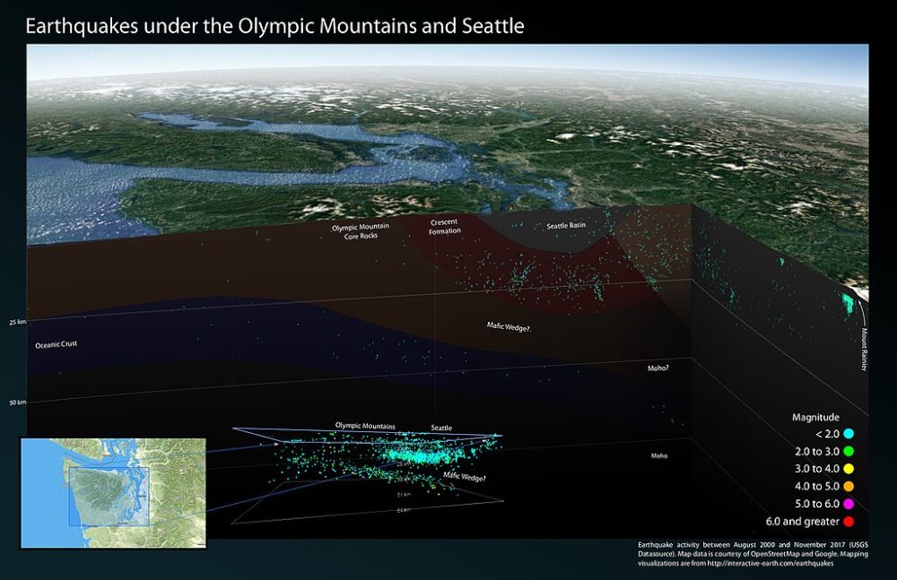
4. Seismic Waves Show a Splitting Crust Beneath the Surface

Using seismic tomography, researchers have imaged hot, partially molten rock deep beneath the Pacific Northwest. These zones of magma weaken the crust, making it more prone to stretching and splitting.
The same technology used to study earthquakes helps scientists “see” where the Earth’s crust is thinning. The data reveal rising columns of warm mantle material, known as upwellings, that could eventually lead to deeper rifting — similar to what’s observed in East Africa’s Rift Valley.
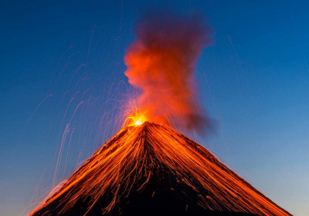
5. Volcanic Activity Offers a Visible Clue
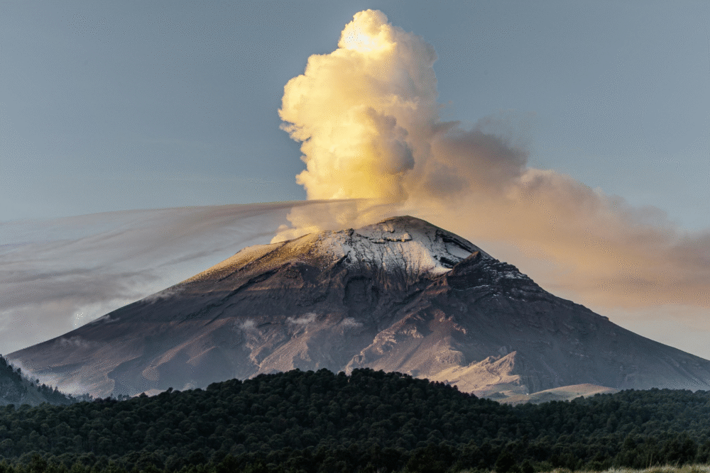
The Cascade Range, which stretches from northern California to British Columbia, is a direct result of the tectonic forces shaping the region. Volcanoes like Mount St. Helens, Mount Rainier, and Mount Hood sit atop zones where magma rises through cracks in the crust.
While most of these volcanoes are part of the subduction-related “Ring of Fire,” their distribution and magma chemistry also reflect deeper crustal stretching. Each eruption provides new geological clues about how Earth’s internal heat reshapes the Pacific margin over time.
6. The Rift Is Forming Slowly — Not Suddenly

Despite dramatic headlines, the splitting of the crust beneath the Pacific Northwest is a process measured in geologic time, not human time. Scientists estimate that full continental separation, if it occurs, would take tens of millions of years.
This slow evolution is normal for tectonic boundaries. Today’s subtle crustal stretching may someday resemble ancient rift zones like the Basin and Range Province in the western United States — but that outcome is far beyond any near-term concern for residents.
7. Past Earthquakes Hint at the Region’s Instability
The Pacific Northwest has a long record of powerful earthquakes linked to the Cascadia Subduction Zone, including the magnitude 9 event that struck around the year 1700. Historical and geological evidence shows the region experiences major quakes roughly every 300–600 years.
Though rifting and subduction are separate processes, both arise from the same plate dynamics. The crust’s tendency to flex and fracture helps scientists understand how stress accumulates and releases — information crucial for assessing the region’s seismic hazards.
8. Scientists Compare It to the Birth of Other Rift Systems

Geologists studying the Pacific Northwest often draw comparisons to the East African Rift, where tectonic stretching is more advanced. There, a new ocean basin is slowly forming as the African continent divides in two.
While the Pacific Northwest is not yet at that stage, its tectonic activity follows the same fundamental mechanics. Both regions show crustal thinning, magma upwelling, and faulting patterns that reflect Earth’s gradual rearrangement of continents. These analogs help researchers predict the Pacific margin’s distant geological future.
9. The Splitting Crust Could Influence Future Volcanism
As the crust continues to stretch and weaken, scientists expect changes in the distribution and frequency of volcanic activity across the region. New fissures could provide easier pathways for magma to reach the surface.
This process doesn’t necessarily increase the immediate risk of eruptions, but it could alter the location and style of volcanic vents over thousands of years. Understanding these deep processes helps geologists model how magma systems evolve in tectonically active regions.
10. The Findings Help Refine Earthquake and Hazard Models

By incorporating new GPS and seismic data into computer models, scientists can better predict how the Pacific Northwest’s crust will behave under stress. This research informs everything from earthquake preparedness to infrastructure planning.
Knowing where the crust is stretching versus compressing helps engineers design safer buildings, bridges, and utilities. It also helps emergency planners identify areas most at risk from both ground shaking and volcanic events in the future.
11. What the Rift Teaches Us About Earth’s Living Planet
The discovery of an active splitting zone beneath the Pacific Northwest is another reminder that Earth is not static—it’s alive with motion and change. The same forces that once created continents, oceans, and mountain ranges are still reshaping the planet today.
For geologists, this region offers a real-time laboratory for studying plate tectonics in action. And for the rest of us, it’s a humbling glimpse into the vast, slow rhythms that have governed Earth’s evolution for billions of years.