
Scientists have finally mapped Zealandia, revealing a massive sunken continent few people know exists.
Most people grow up learning that Earth has seven continents—but scientists say there’s actually an eighth, and it’s almost entirely underwater. Zealandia, a massive submerged landmass the size of India, has finally been mapped in detail after years of research. Only about 5–7 percent of it sticks above the ocean today, forming New Zealand and a few nearby islands. The rest lies hidden beneath thousands of feet of water. The new map gives scientists their clearest look yet at this lost continent—and what it reveals is changing how we understand Earth’s geology.
1. Zealandia Was Only Recognized as a Continent in 2017
Although Zealandia formed tens of millions of years ago, scientists didn’t officially classify it as a continent until 2017. A group of geologists published research showing it met all four criteria: it’s elevated above the surrounding ocean floor, has distinct geology, a defined area, and a crust thicker than the oceanic crust around it.
This recognition reshaped how researchers think about Earth’s landmasses. It also sparked a major international effort to map the continent and determine how it separated from the ancient supercontinent Gondwana.
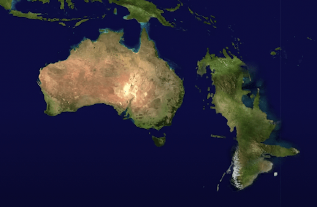
2. The New Map Reveals Zealandia’s True Size and Shape

Researchers from GNS Science and international partners used seismic data, gravity measurements, rock samples, and ocean-floor surveys to map Zealandia in unprecedented detail. The new version outlines ridges, plate boundaries, and continental crust hidden deep underwater.
Before this work, Zealandia’s exact dimensions were unclear. Now scientists estimate it covers roughly 1.9 million square miles—about two-thirds the size of Australia. Seeing its full outline helps scientists better understand how unique it is compared with other submerged regions.
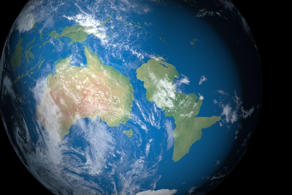
3. Only a Small Portion of the Continent Is Above Water
Today, just a sliver of Zealandia’s landmass rises above sea level. New Zealand, New Caledonia, and a few scattered islands are the only visible parts. Everything else is buried beneath the South Pacific.
This makes Zealandia different from continents like Antarctica, which is covered by ice but still sits above sea level. Because Zealandia is mostly submerged, it eluded classification for decades—even though it has continental-style crust, mountain building, and volcanic activity.
4. Zealandia Broke Away From Gondwana Around 80 Million Years Ago
Geological evidence shows Zealandia once belonged to Gondwana, the massive supercontinent that included Antarctica, Australia, Africa, and South America. Around 80 million years ago, tectonic forces stretched and thinned Zealandia’s crust until it separated and slowly sank.
This breakup explains why the continent is underwater today. Its unusually thin crust—about half the thickness of typical land continents—made it more prone to subsidence over time, leaving only the highest peaks above the ocean.
5. The Mapping Effort Helps Scientists Understand Plate Movement
Zealandia sits across several major tectonic boundaries, including the meeting point between the Pacific and Australian plates. By mapping buried ridges, faults, and continental fragments, researchers gained a clearer picture of how Earth’s plates have shifted over millions of years.
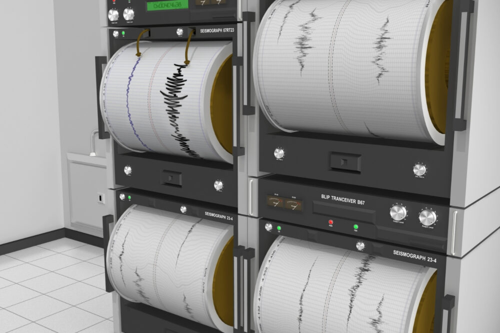
These findings also help explain the region’s intense seismic and volcanic activity. New Zealand, which lies along the edge of Zealandia, experiences frequent earthquakes and eruptions because of this dynamic plate interaction.
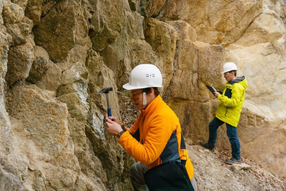
6. The Continent Contains a Variety of Rock Types
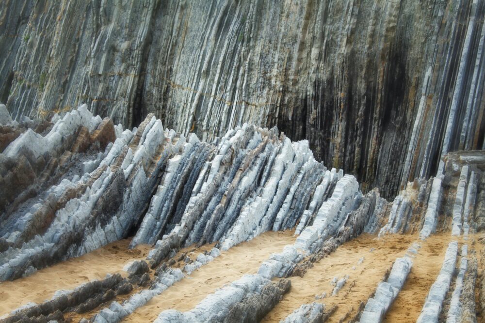
Rock samples from Zealandia show granite, sedimentary layers, volcanic formations, and metamorphic rocks—typical ingredients of continental crust. These samples came from seafloor drilling projects and exposed areas on land.
Their composition proves Zealandia isn’t just an underwater plateau or volcanic ridge. Instead, it represents a genuine fragment of ancient continental crust, further supporting its classification as Earth’s eighth continent.
7. New Data Reveals Hidden Mountain Ranges and Basins
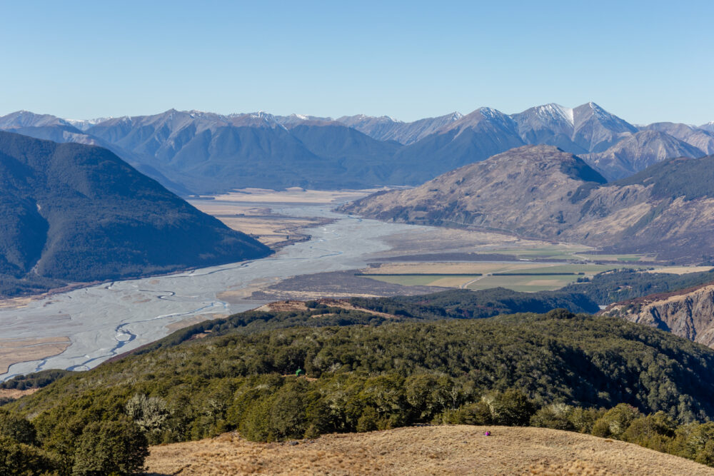
The new map shows Zealandia contains submerged mountain chains, deep basins, and fault-controlled valleys. These features resemble those found on fully exposed continents.
Understanding these landscapes helps scientists reconstruct how the continent formed and how its shape changed after it split from Gondwana. It also reveals how much Zealandia has stretched, twisted, and fractured over tens of millions of years beneath the Pacific.
8. The Map Helps Predict Natural Resources and Geological Hazards
Knowing Zealandia’s structure helps geologists model where minerals, sedimentary basins, or energy resources may exist. It also improves hazard forecasting, especially around New Zealand, which relies on accurate models of earthquakes and volcanic systems.
Although most of Zealandia is too deep to mine, mapping its crust gives valuable insight into how natural resources form—and how the surrounding region might behave during major tectonic events.
9. Zealandia’s Formation Helps Explain Regional Biodiversity

Because Zealandia broke away from Gondwana long ago, its plants and animals evolved in isolation. This is why New Zealand has so many unique species, from kiwi birds to ancient tuatara reptiles.
The new map helps biologists understand how past land connections, sea-level changes, and tectonic shifts influenced species movement. It offers clues to why certain fossils appear in the region and how ecosystems developed over millions of years.
10. The Discovery Highlights How Much of Earth Is Still Unmapped

Despite advances in satellite imagery, most of the world’s ocean floor remains poorly mapped. Zealandia is proof that even something as large as a continent can remain hidden in plain sight.
Scientists say the new Zealandia map underscores the need for more deep-sea exploration. As technology improves, researchers expect to uncover even more geological surprises beneath the world’s oceans.
11. Zealandia Is Now One of the Best-Studied Submerged Continents

Thanks to years of research, Zealandia is becoming a key reference point for studying submerged continental crust. It shows how continents can stretch, thin, sink, and fracture in ways not fully understood until recently.
The new map will be used for decades in geological modeling, climate reconstruction, and plate-tectonic research. It also cements Zealandia’s place in Earth’s geological story—an entire continent hidden beneath the waves, now finally revealed in full.