
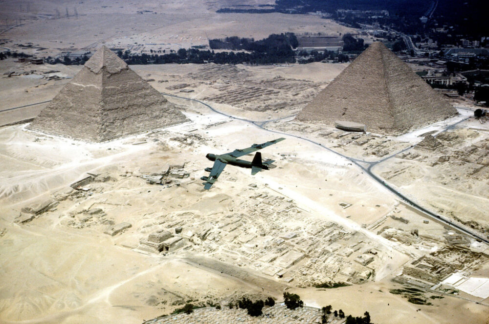
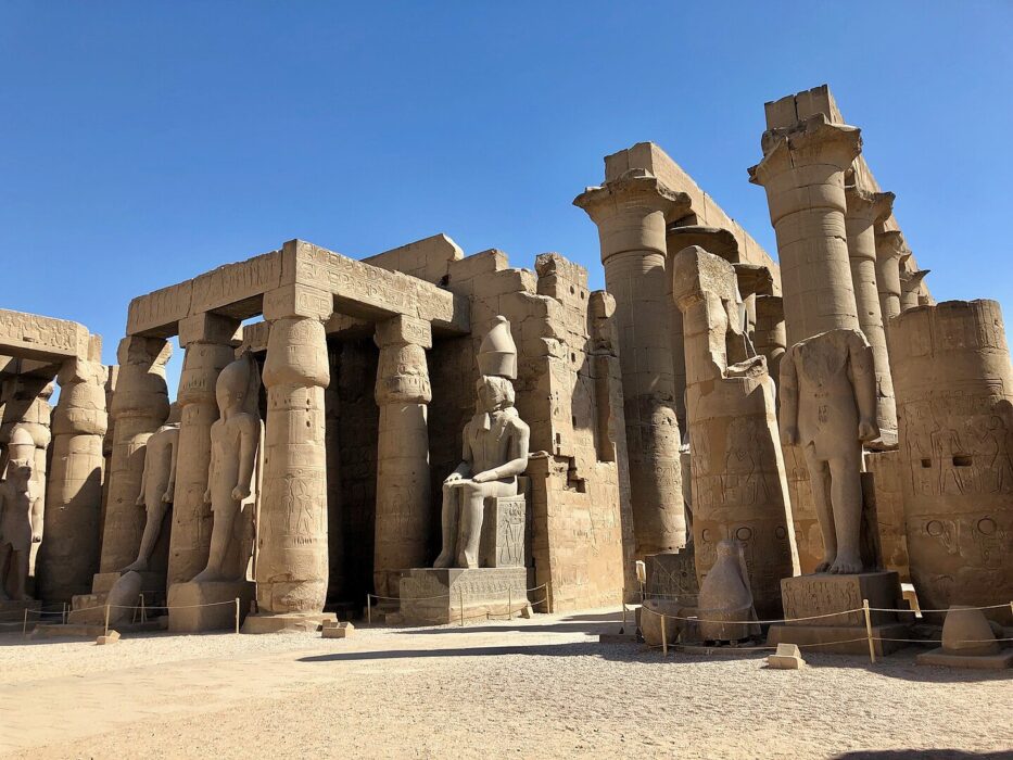
Satellite imaging is revealing long-buried structures across Egypt—some resembling forgotten pyramids.

Scientists using infrared satellite imaging have uncovered geometric patterns beneath the desert that resemble pyramid foundations, temple complexes, and settlement grids. These findings are grounded in peer-reviewed research and confirmed surveys that have already identified numerous ancient sites. As experts continue analyzing new data from orbit, many believe Egypt may still be hiding monumental structures beneath the sand—remnants of a past that has remained unseen for thousands of years.
1. A New Way to Detect Ancient Structures

Infrared satellite imaging identifies subtle temperature differences on the surface, which can reveal stone foundations hidden beneath sand. This technology helps scientists detect archaeological features long before they are visible at ground level.
Researchers use these readings to pinpoint locations with promising patterns, such as straight lines and right angles rarely formed naturally. These clues guide excavations more efficiently and have already led to discoveries that reshape Egyptologists’ understanding of ancient settlement density.
2. The Scientist Leading the Space-Based Discovery Effort

Archaeologist Dr. Sarah Parcak, known as a pioneer of space archaeology, has spent years using satellite data to map hidden structures. Her research combines remote sensing with ground surveys, creating a more complete picture of ancient Egypt’s buried landscape.
Parcak’s work has attracted global attention for revealing patterns previously overlooked by traditional methods. Her findings have inspired new excavations and collaborations with Egyptian authorities, who rely on her mapping tools to prioritize locations with the highest archaeological potential.
3. Infrared Imaging Reveals Geometric Anomalies in the Desert
Infrared sensors can detect differences in heat retained by stone versus sand. When these variations align in geometric shapes, archaeologists suspect they may represent ancient buildings or enclosure walls. These signatures have appeared in multiple regions of Egypt.
Follow-up surveys on some anomalies have revealed buried streets, foundations, and mudbrick structures. Although not every signature indicates a major monument, the accuracy rate has been strong enough to transform how researchers search for ancient sites.
4. Potential Pyramid Foundations Identified from Space
Some of the most intriguing satellite signatures appear as square or rectangular outlines that resemble pyramid bases. These shapes match the known dimensions of smaller pyramids from Egypt’s Old and Middle Kingdom periods.
Archaeologists emphasize that such findings must be confirmed through excavations, but the satellite evidence is considered credible. Similar techniques previously helped identify buried pyramid complexes at sites such as Dahshur, suggesting more undiscovered structures may still lie beneath the sands.
5. Satellite Surveys Point to Unknown Ancient Settlements

Beyond pyramids, satellite images have revealed clusters of rectangular anomalies that resemble the layout of ancient urban areas. These formations include possible streets, courtyards, and administrative buildings.
Early ground investigations at comparable sites have confirmed that many of these satellite-identified clusters correspond to real towns or temple complexes. The ongoing research suggests ancient Egypt had far more densely populated regions than once believed, rewriting parts of the historical landscape.
6. Ground-Truth Excavations Support the Technology
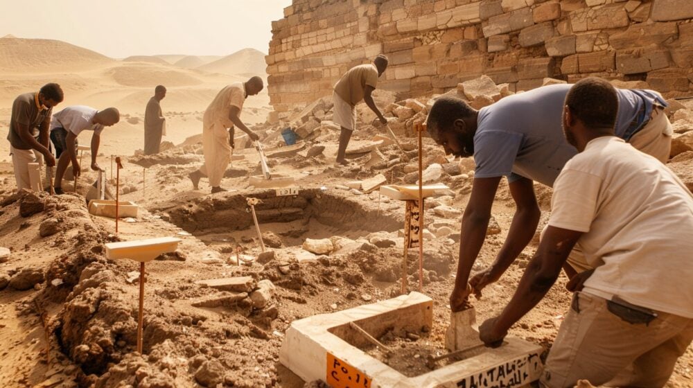
Archaeologists have tested satellite-identified locations through manual excavation, confirming that many anomalies correspond to genuine ancient structures. These findings validate the reliability of space-based archaeology.
In several cases, satellite data pinpointed structures buried beneath several feet of sand—features unlikely to be found by traditional surveys alone. These successes strengthen confidence that additional major discoveries may still lie hidden and await targeted excavation.
7. Ancient River Systems Revealed Beneath the Sahara
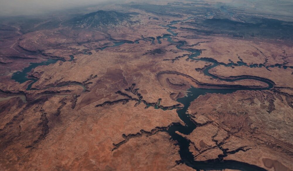
Satellite imaging has uncovered traces of long-dry river channels across Egypt. These ancient waterways help explain why certain settlements and possible pyramid sites appear in seemingly remote desert regions.
Understanding the historic flow of these rivers allows archaeologists to reconstruct how ancient Egyptians chose locations for farms, towns, and ceremonial complexes. These maps help identify likely places where major structures could still be buried.
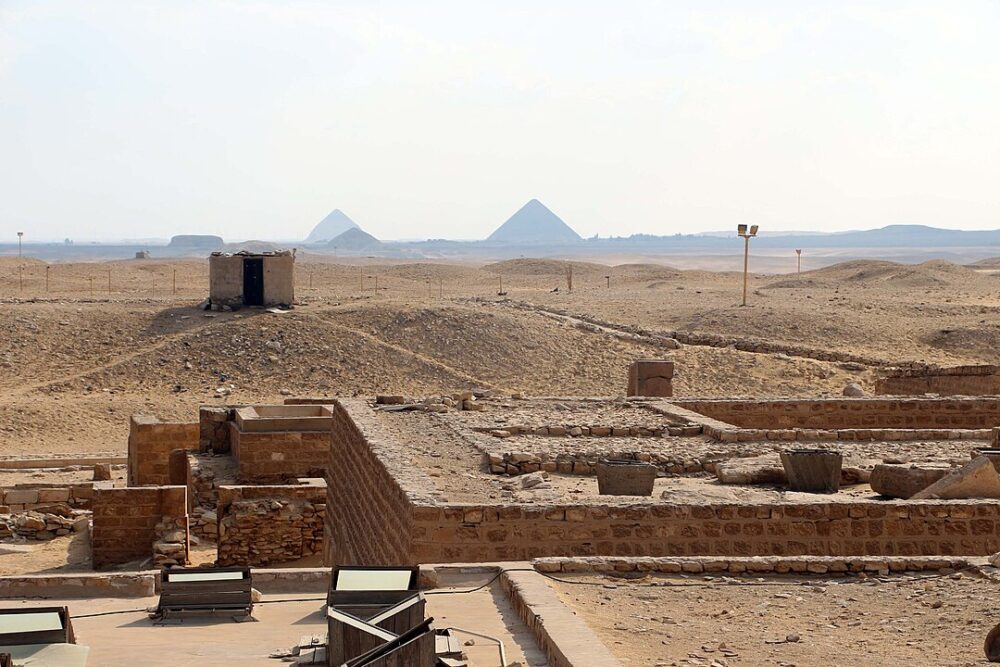
8. Lost Temples May Lie Beneath Shifting Sand Dunes
Rectangular infrared signatures have been found near known temple complexes, suggesting additional buildings may be buried nearby. Some patterns appear to match the layout of small chapels or storage facilities.
Because temples often expanded over centuries, archaeologists expect many associated structures remain undiscovered. Satellite data now helps them visualize where these extensions may lie, offering targeted excavation opportunities that were previously unavailable.
9. Mapping Helps Protect Sites from Modern Development

Egypt faces ongoing challenges from urban expansion and agricultural growth, which sometimes encroach on archaeological zones. Satellite mapping identifies sensitive areas so authorities can intervene before construction begins.
This protective approach ensures ancient sites are documented, preserved, or properly excavated before they are damaged. The system has already helped save several threatened locations whose historical significance was unknown until satellite scans revealed their presence.
10. Rediscovering Forgotten Regions of Ancient Egypt
Regions once thought archaeologically “empty” are now showing evidence of extensive human activity. Satellite data has revealed settlement patterns, road networks, and possible industrial zones.
These discoveries help scholars understand how ancient Egyptians organized labor, transported goods, and expanded their political influence. The findings also encourage exploration in areas historically overlooked due to difficult terrain or lack of visible ruins.
11. What This Means for the Future of Egyptian Archaeology
Satellite technology is accelerating discoveries at a pace never seen before. As imaging sensors improve, researchers expect to detect even smaller features, including tombs, workshops, and minor ceremonial structures.
Archaeologists believe that many of Egypt’s greatest secrets remain underground, protected by centuries of shifting sands. With continued advancements in space-based tools, the next major pyramid or temple complex may be identified from orbit before anyone ever touches a shovel.