
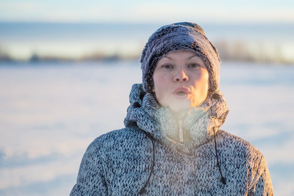
A shifting La Niña may bring snow, storms or record warmth — here’s what to expect this season.
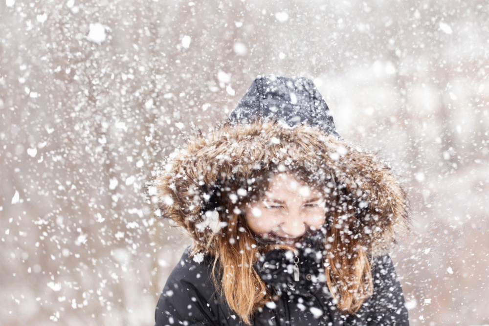
With a weak La Niña expected to linger into winter before shifting toward neutral conditions in early 2026, this season could bring a mix of mild spells, sudden chill, and uneven snowfall across the United States. Many regions are leaning warmer than average, while parts of the Upper Midwest and northern Plains have higher chances of colder weather. Rain and snow patterns are also expected to vary widely. Overall, winter 2025–26 looks like one filled with surprises — and here’s what different parts of the country can expect.
1. South & Southeast: Milder Temps, Drier Days
Across the South and Southeast, this winter is shaping up to be warmer than normal, meaning fewer freezing nights and fewer opportunities for wintry weather. Above-average temperatures are favored for much of the region, suggesting a season that feels more like an extended fall than a classic winter.
At the same time, precipitation is expected to trend below normal. That could deepen existing dry conditions and increase drought risk. Residents should be cautious about outdoor burning and water usage as the season progresses.
2. Southwest & Desert West: Mild Weather, Rising Drought Concerns
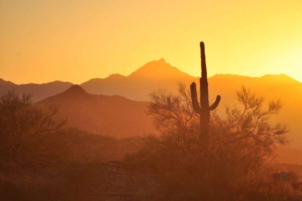
The Southwest — including southern California, Arizona, New Mexico, and parts of Texas — is also expected to experience a warmer-than-average winter. Mild days and fewer cold snaps will be common, offering comfortable conditions but increasing pressure on already-strained water supplies.
Rainfall is likely to stay below normal, which raises concerns for drought expansion. The region may experience elevated wildfire risk and reduced moisture levels in soils and reservoirs. For communities that rely heavily on consistent winter precipitation, this could be a challenging season.
3. Pacific Northwest & Northern Rockies: Wetter Days and More Mountain Snow
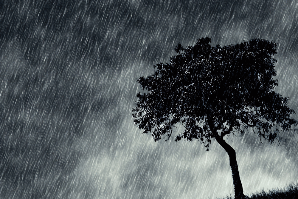
From the Pacific Northwest into the Northern Rockies, conditions are expected to tilt wetter than usual. While valley areas may see more rain, higher elevations have a better chance of accumulating snow, which could benefit snowpack and water supply later in the year.
These wetter conditions may also lead to more frequent storm systems moving through. Mountain travel could be more hazardous at times, while low-lying areas may need to watch for periods of heavy rain or localized flooding if storms linger.
4. Upper Midwest & Great Lakes: Colder Air and Patchy Snow
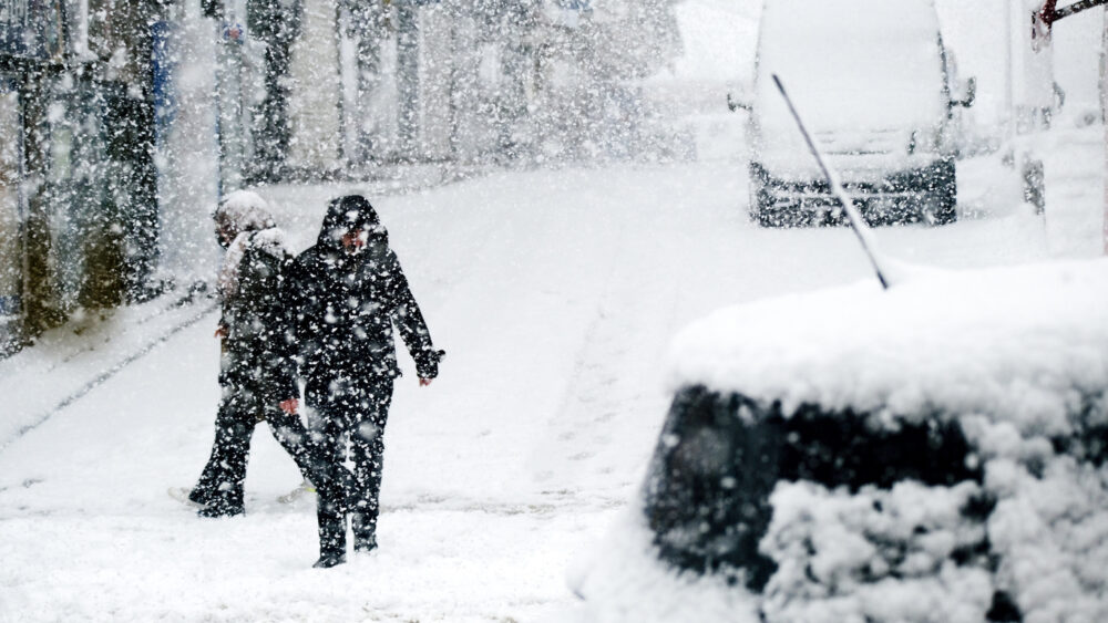
The Upper Midwest and Great Lakes region are among the few parts of the country with a higher chance of below-normal temperatures. That means a more winter-like season, including cold outbreaks and frequent chilly days.
However, snowfall is less predictable. Depending on storm tracks, the region could see stretches of dry cold followed by quick-hitting snow events. Some areas may experience icy conditions or mixed precipitation instead of consistent snow cover, making travel a bit more challenging.
5. Northern Plains: Classic Cold, But Uncertain Snowfall
The Northern Plains — including states such as Montana and North Dakota — could experience a colder winter overall, with temperatures dipping below normal at times. This region is more likely to see true Arctic air intrusions.
Snowfall, however, is less certain. Cold air alone doesn’t guarantee heavy snow, and much will depend on whether moisture-rich storm systems reach the region. When they do, snowfall could be significant. But it’s equally possible to experience long, dry stretches with bitter cold.
6. Northeast & Mid-Atlantic: Warmer Overall, But Storms Still Possible
Much of the East Coast is favored to experience a warmer-than-average winter, reducing the likelihood of long-lasting cold waves. Many residents may notice fewer deep freezes and more mild stretches compared to typical winters.
Even so, major winter storms can still develop. While snowfall may be less frequent overall, nor’easters remain a possibility, especially if cold air dips into the region at the right time. This could lead to occasional high-impact snow or mixed-precipitation events despite the broader warming trend.
7. Gulf Coast & Florida: Mild, Dry, and Mostly Comfortable

The Gulf Coast and Florida are likely to see a warm, dry winter. Mild temperatures will dominate, creating pleasant outdoor conditions for much of the season. Fewer cold fronts are expected, and frost risks remain low.
However, the dry pattern may deepen localized drought issues. Residents should stay alert for any unusual cold snaps that make their way south, as even brief intrusions of cold air can catch the region off guard.
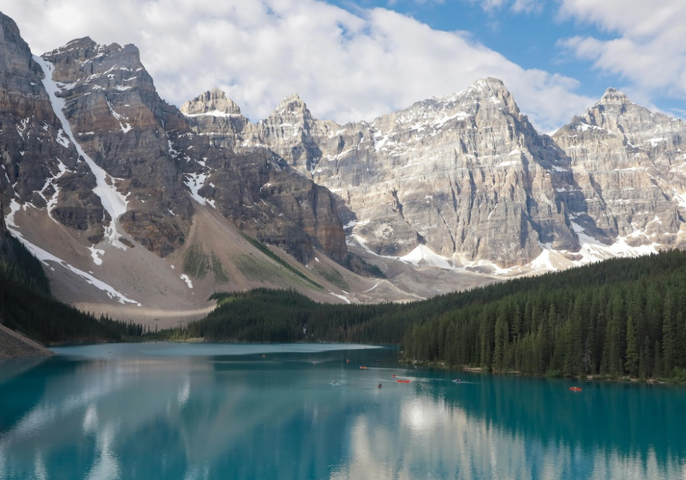
8. Mountain West: Strong Snow Potential at Higher Elevations
The Mountain West, including the central and northern Rockies, may experience a solid snow season in higher elevations. Increased moisture combined with frequent cold air could help build a healthier snowpack for ski resorts and water resources.
Lower elevations, however, may see more rain or mixed precipitation if temperatures run warmer than average. This could create variable travel conditions, with winter hazards changing quickly over short distances.
9. Alaska: Colder Than Normal in the North, Variable Elsewhere
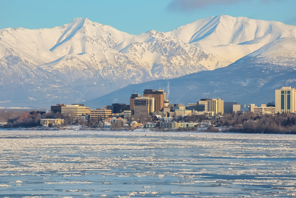
Northern Alaska is expected to trend colder than average, with an increased chance of bitter Arctic air making frequent appearances. These conditions could lead to extended periods of freezing temperatures and occasional storms.
Other parts of Alaska may experience more variable weather, depending on storm paths and temperature swings. Some areas may see mixed precipitation or fluctuating storm activity throughout the season.
10. Snow-Lovers Beware: Snowfall Looks Uneven This Year

Even in areas where winter cold is expected, snowfall is likely to be inconsistent. A weak La Niña pattern often leads to unpredictable snow distribution — heavy totals in some regions and surprisingly low amounts in others.
This means skiers, snowboarders, and snow-sport enthusiasts should prepare for variability. Some mountain areas may thrive, while others wait longer for substantial snow. When storms arrive, they could produce rapid accumulations, but it may be difficult to rely on steady snowfall throughout the season.
11. Atmospheric Patterns Could Trigger Big Swings
While La Niña will influence early winter, other atmospheric patterns such as the Arctic Oscillation, North Atlantic Oscillation, and Eastern Pacific Oscillation could shape the rest of the season. These systems often determine when and where cold air plunges into the U.S.
Because these oscillations shift unpredictably, winter weather may arrive in bursts rather than in a consistent pattern. Residents across the country should stay ready for sudden temperature swings, surprise storms, or unusually warm stretches as these patterns change.