Advanced satellite data reveals accelerating deforestation, climate-driven forest die-offs, and ecosystem collapse across Amazon and boreal regions worldwide.
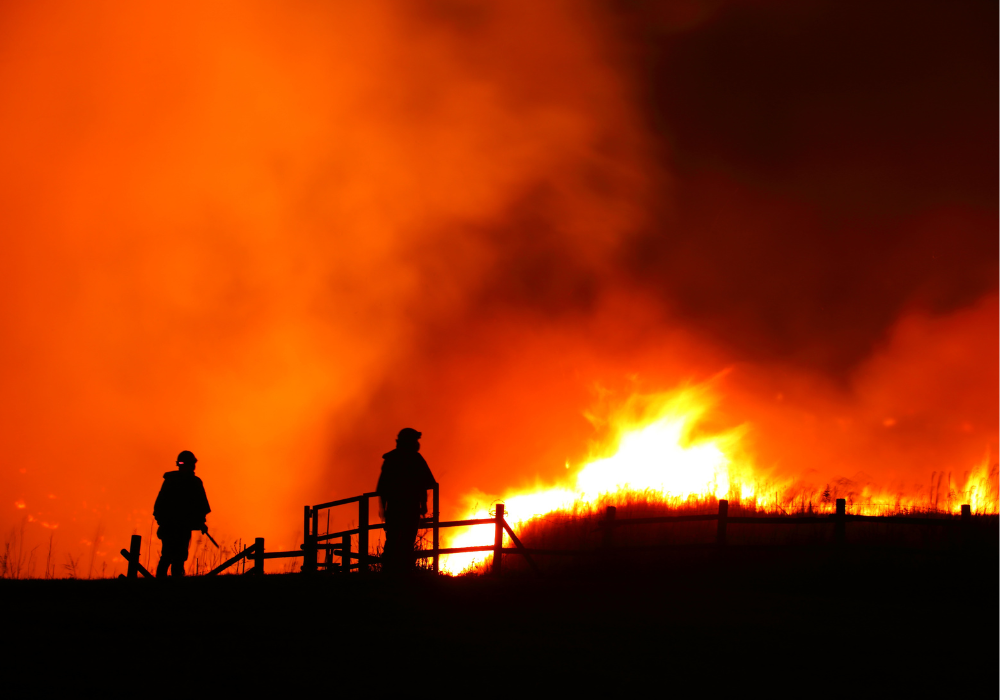
Satellites orbiting 400 miles above Earth are capturing a devastating transformation happening to our planet’s forests. The images are stark and undeniable: 2024 marked the worst year for forest destruction in recorded history, with fires alone consuming an area nearly the size of Panama in tropical rainforests. For the first time since satellite monitoring began, wildfires—not agriculture—became the leading cause of forest loss in regions that aren’t supposed to burn.
From the Amazon’s unprecedented drought-fueled blazes to Canada’s record-breaking boreal forest fires, advanced satellite technology is revealing how climate change is rewriting the rules of forest survival across every continent.