
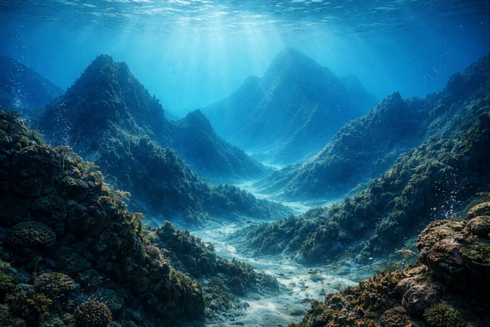
Beneath the ocean floor are traces of human worlds we are only beginning to find.
Ancient coastlines that once supported thriving human communities now lie far beneath the ocean’s surface. During the last Ice Age, sea levels were dramatically lower, exposing vast plains, river valleys, and coastal zones where people hunted, traveled, and settled for thousands of years.
As glaciers melted, rising seas slowly drowned these landscapes. Instead of sudden catastrophe, the flooding happened over generations, allowing traces of human life to be buried under sediment rather than destroyed outright. For a long time, archaeologists assumed these places were lost forever.
New technology and large-scale research projects are proving otherwise. Scientists now say entire chapters of human history are preserved underwater—but modern activity means the window to study them is rapidly closing.
1. Doggerland, the lost heart of prehistoric Europe
One of the most famous submerged landscapes is Doggerland, a vast region that once connected Britain to mainland Europe beneath what is now the North Sea. At its peak, it included rivers, forests, wetlands, and coastlines rich in food.
Archaeologists believe Doggerland supported human populations for thousands of years. Stone tools, animal bones, and ancient peat deposits recovered from the seabed suggest seasonal camps and long-term habitation rather than brief visits.
2. Why these landscapes vanished so completely

At the height of the last Ice Age, sea levels were more than 300 feet lower than today. As global temperatures rose, meltwater gradually flooded low-lying land across the world’s continental shelves.
This slow submergence meant people adapted as they retreated inland, leaving behind tools, hearths, and pathways that were eventually sealed under layers of sand and silt. Those sediments are what make preservation possible today.
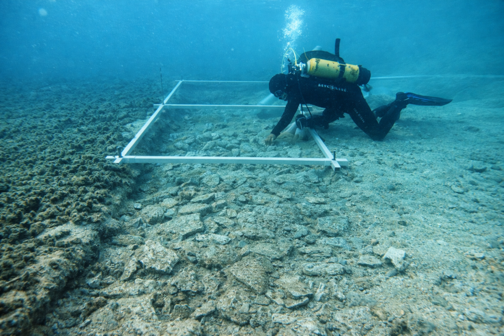
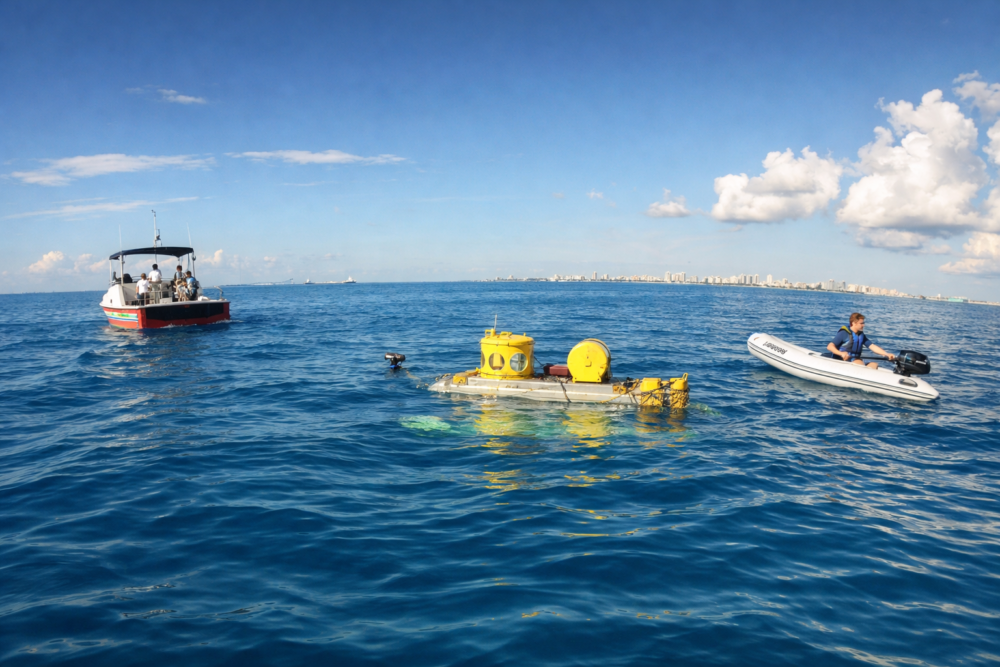
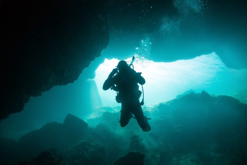
3. How underwater archaeology changed the picture

For much of the twentieth century, underwater archaeology focused on shipwrecks rather than landscapes. Large submerged plains were considered too vast and too damaged to study meaningfully.
That view changed as high-resolution sonar, seismic surveys, and sediment coring began revealing ancient river channels, shorelines, and lakebeds beneath the sea. These features made it clear that whole human environments, not just isolated objects, were still intact.
4. What projects like SUBNORDICA are uncovering
One of the most ambitious efforts is SUBNORDICA, a large collaboration bringing together research centers and universities across the UK and Europe. Instead of focusing on single sites, the project looks at entire drowned landscapes beneath the North and Baltic Seas.
By combining archaeology, marine geology, and data from offshore surveys, researchers are mapping ancient coastlines, river systems, and habitable zones at a regional scale. This collaborative approach helps reconstruct how people lived, moved, and adapted as rising seas gradually reshaped prehistoric Europe.
5. Evidence of everyday human life underwater
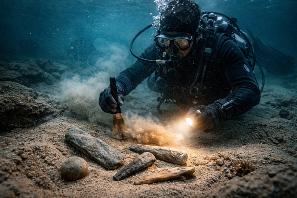
Recovered materials include stone tools, worked flint, animal remains, and traces of ancient vegetation. These finds suggest routine activities like food preparation, tool-making, and seasonal movement across the landscape.
Because some areas flooded quickly and were buried rapidly, organic material can survive far better than expected. In certain conditions, wood, plant fibers, and bone remain preserved for thousands of years beneath the seabed.
6. Why scientists say time is running out
Many submerged sites have survived only because they were sealed beneath stable layers of sediment. Modern pressures are now disturbing those layers at increasing rates. Bottom trawling, dredging, cable installation, and offshore wind construction all churn the seabed.
Once sediments are disturbed, fragile organic remains decay rapidly when exposed to oxygen. In some cases, material that survived ten millennia can disappear within a few years.
Researchers involved in projects like SUBNORDICA warn that without rapid documentation, entire prehistoric landscapes could be erased before they are ever properly studied, leaving permanent gaps in human history.
7. How offshore development became an unexpected ally
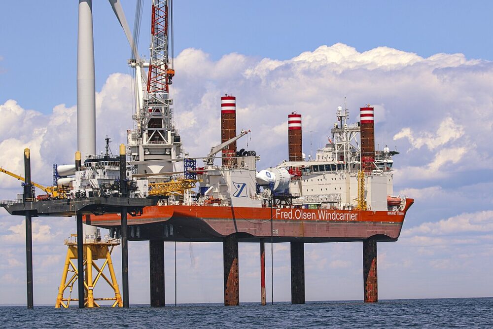
Ironically, offshore construction has helped drive discoveries. Energy and infrastructure projects require detailed seabed surveys before work begins, producing vast datasets.
Archaeologists now collaborate with industry to analyze this information, spotting ancient riverbeds, shorelines, and possible habitation zones that would otherwise remain invisible.
8. What submerged landscapes reveal about adaptation

Unlike sudden disasters, these flooded worlds record slow environmental change. People adjusted over generations as coastlines shifted and resources moved.
Studying these patterns helps scientists understand long-term resilience, migration, and decision-making in ways land sites alone cannot capture.
9. Why this is a global story, not a regional one
Doggerland is only one example. Similar drowned landscapes exist off the coasts of Australia, Southeast Asia, the Americas, and parts of Africa.
Wherever Ice Age coastlines once extended outward, human history now lies underwater. Each region adds critical context to how humans spread across the planet.
10. The challenges of studying entire underwater worlds

Underwater excavation is slow, expensive, and risky. Visibility is limited, and disturbing sediments can damage what researchers hope to preserve.
As a result, documentation often becomes the priority. Mapping and recording sites thoroughly may be the only chance to preserve their information before physical remains degrade.
11. Why these lost worlds still matter today
Submerged landscapes show that early human history was deeply tied to coasts, rivers, and marine resources. They challenge land-focused narratives of migration and innovation.
By uncovering places like Doggerland and studying them through projects such as SUBNORDICA, scientists are restoring missing chapters of our past—and offering perspective on how humanity has responded to rising seas before.