
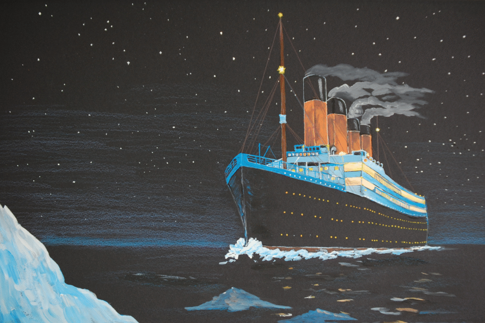
A full-scale digital scan of the Titanic wreck reveals stunning new details about how the ship broke apart.
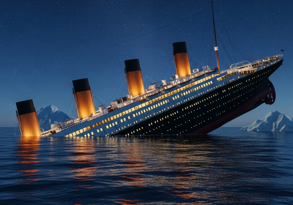
More than 110 years after the Titanic sank, new technology is offering the clearest view yet of the disaster. Using deep-sea submersibles and advanced 3D mapping, researchers created a complete digital model of the wreck on the Atlantic seafloor. The scan reveals structural damage and collapse patterns never before seen, challenging long-held theories about how the ship broke in two. Experts say the discovery marks a major leap in understanding one of history’s most studied tragedies.
1. The Most Detailed Map of the Titanic Ever Created
Researchers have completed the first full-size digital scan of the Titanic, capturing every detail of the wreck site in remarkable clarity. The project was carried out by deep-sea mapping specialists Magellan Ltd. in collaboration with Atlantic Productions, using thousands of images stitched together to build a 3D digital twin of the ship.
The model shows the Titanic’s current condition in unprecedented resolution, offering scientists and historians a new way to examine the wreck without disturbing it on the ocean floor.
2. The Titanic Lies Nearly 12,500 Feet Beneath the Ocean

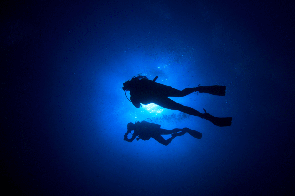
The Titanic wreck rests about 370 miles off the coast of Newfoundland, Canada, at a depth of roughly 12,500 feet. Since its discovery in 1985 by oceanographer Robert Ballard, it has been one of the most challenging and fragile underwater archaeological sites in the world.
At that depth, the ship lies in near-total darkness, with water pressure over 5,500 pounds per square inch. The extreme environment makes direct exploration dangerous and has accelerated the ship’s natural decay.
3. Mapping the Wreck Required Cutting-Edge Technology
To complete the new 3D reconstruction, Magellan used remotely operated submersibles equipped with high-resolution cameras and sonar systems. Over several weeks, the vehicles made more than 200 dives around both main sections of the wreck.
They captured over 700,000 individual images from every angle, later combined into a 3D model accurate to within millimeters. The resulting digital twin provides a complete view of the ship for the first time, including areas that are otherwise inaccessible to divers.
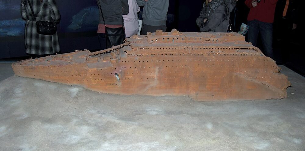
4. The Ship Is Split in Two and Surrounded by Debris

The 3D scan clearly shows the Titanic’s two main sections—the bow and stern—resting about 2,600 feet apart. Between them lies a debris field filled with furniture, machinery, personal belongings, and other artifacts from the ship’s final moments.
This separation confirms that the ship broke apart before it sank completely, but the new imagery reveals more about how that breakup occurred. Damage patterns along the hull and keel suggest structural weaknesses that were less visible in earlier expeditions.
5. The Scan Reveals Clues About How the Ship Broke Apart
For decades, experts have debated exactly how the Titanic split in two during its descent. The new 3D model provides evidence that the stern section twisted violently as it broke from the bow, causing massive deformation along the hull.
These details challenge older theories that depicted a cleaner break. The distortion shown in the digital model supports newer hypotheses suggesting the ship’s structure failed under intense stress as the bow filled with water and pulled the rest of the vessel downward.
6. Personal Artifacts Are Frozen in Time on the Seafloor

The high-resolution imagery captures haunting details: a pair of shoes resting side by side, an unopened champagne bottle, and rust-covered dishes scattered across the seabed. These items serve as silent reminders of the more than 1,500 passengers and crew who lost their lives.
By digitally preserving these objects, scientists can study them without removing anything from the site. The data also helps researchers track how materials decay over time in the deep ocean, guiding future preservation efforts.
7. The Ship’s Decay Is Accelerating

The Titanic is deteriorating rapidly due to saltwater corrosion, metal-eating bacteria, and shifting currents. Parts of the hull have already collapsed, and the ship’s crow’s nest and upper decks are unrecognizable compared to earlier images.
Experts estimate that the wreck could lose much of its recognizable structure within the next few decades. The 3D mapping project ensures that the ship’s exact appearance and layout will be preserved digitally before nature claims what’s left.
8. This Technology Allows Scientists to Study the Wreck Safely

Traditional exploration of the Titanic is limited by depth, danger, and ethical concerns about disturbing a gravesite. The new digital model changes that. Researchers can now explore the wreck virtually, zooming in to examine even the smallest details.
This approach eliminates the need for repeated physical expeditions, reducing the risk of damage from submersible contact or sediment disturbance. It also allows educators and museums to bring an accurate digital version of the Titanic to the public for the first time.
9. The Mapping Project Took Over 200 Hours of Deep-Sea Footage
Creating the Titanic’s digital twin was one of the largest underwater imaging projects ever attempted. Submersibles operated continuously for weeks, gathering terabytes of data under extreme conditions.
Each image had to be precisely geo-referenced to fit within the 3D model. The data was then processed using specialized software capable of handling vast underwater imaging datasets, ultimately producing a virtual reconstruction that’s both scientifically accurate and visually stunning.
10. The Findings Are Changing Theories About the Final Minutes

By examining the damage patterns in the 3D model, marine engineers have been able to refine theories about the ship’s sinking sequence. Evidence suggests the bow section sank more quickly than once believed, creating massive water pressure that tore the ship apart.
The stern, now seen as heavily twisted and compressed, likely rotated backward before it plunged. These insights paint a clearer picture of the Titanic’s final descent and the chaotic forces at play during its last moments.
11. The 3D Model Offers a New Way to Preserve History
This digital scan serves as both a scientific resource and a historical archive. It captures a moment in time before the wreck’s continuing decay erases key features forever.
Historians, marine archaeologists, and preservationists can now study the ship in detail without further intrusion. The project is also providing 3D data that can be used for virtual reality experiences, museum exhibits, and educational programs, allowing millions to explore the Titanic as it rests today.
12. The Discovery Rekindles Global Fascination with the Titanic
Even after more than a century, the Titanic’s story continues to captivate the world. The new digital reconstruction offers fresh insight into one of history’s most famous tragedies and renews public interest in maritime archaeology.
By combining technology and history, the mapping project bridges the gap between science and storytelling. For researchers, it’s a breakthrough in understanding the ship’s final moments. For the public, it’s a poignant reminder of human ambition, error, and the enduring lessons of loss at sea.