
The climate shift that is turning historic blizzards into rain-soaked disasters.

Not all storms named ‘Storm of the Century’ deliver heavy snowfall as expected. Various meteorological elements, such as warm air masses, humidity levels, and shifting storm tracks, can influence whether a storm results in snow or rain. Understanding temperature layers, weather patterns, and climate impacts helps clarify why intense storms sometimes remain snowless despite their severity.
1. Warm air masses can prevent snow formation despite storm activity.

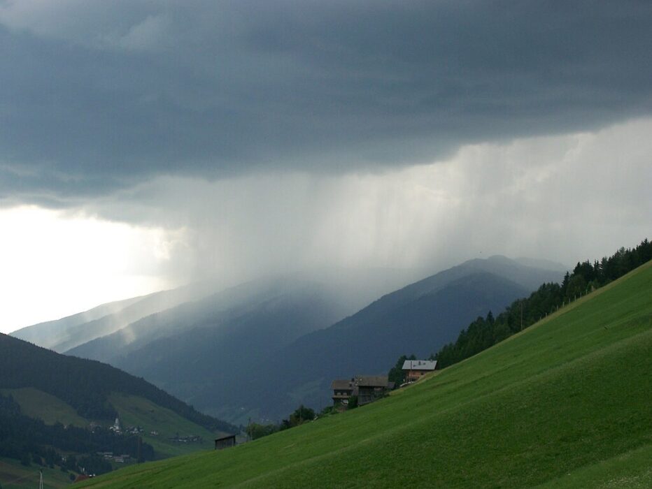
Warm air masses, often moving from the south, can significantly alter a storm’s potential for snow. When a major storm coincides with these air masses, it can prevent snow by raising temperatures above freezing levels.
Consequently, even severe storms might produce only rain. This phenomenon highlights the complexity of interactions between heat and storm systems. Meteorologists strive to predict these changes meticulously, as they can drastically influence precipitation type across various regions.
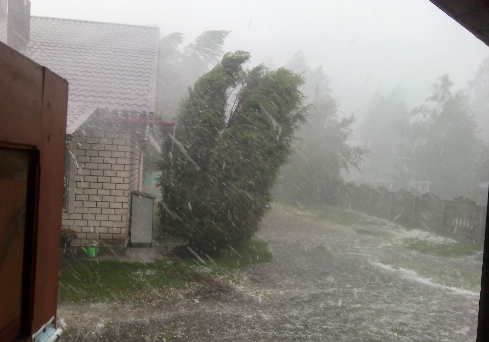
2. Strong winds can transport precipitation away before it reaches the ground.

Strong winds within a storm system can limit snowfall by moving precipitation horizontally. In these cases, snowflakes may be blown aloft or pushed away before they hit the ground, reducing expected snow accumulation.
This directional movement challenges precipitation forecasts and can mislead viewers about storm severity. These weather dynamics underscore the unpredictability often associated with large-scale storm events, necessitating comprehensive storm tracking.
3. High humidity levels may result in rain instead of snow during storms.

High humidity levels during a storm can contribute to rain rather than snow, especially when surface temperatures hover near or just above freezing. Moisture-laden air may condense into rain, preventing the formation of snowflakes.
The shift from potential snow to rain involves both surface and atmospheric dynamics, complicating short-term predictions. Such humidity-driven transitions illustrate the nuanced forces that dictate whether a storm will blanket areas in white or leave them wet.
4. Rising temperatures at lower altitudes often cause snow to melt quickly.

Rising temperatures at lower altitudes affect snow stability, often resulting from ground-level heating or warm air intrusion. As temperatures climb, snowflakes can melt as they descend, leading to rain instead.
This process swiftly alters precipitation types, affecting both forecasts and actual conditions. The change from fluffy snow to liquid precipitation challenges meteorologists, emphasizing the importance of analyzing vertical temperature profiles when predicting storm outcomes.
5. Oceanic influences can bring moist air that turns snow into rain.
Oceanic influences, like those from the Gulf Stream, bring moist, warm air to coastal regions, which can transform potential snow into rain. The interplay between ocean temperatures and atmospheric conditions prevents snow accumulation.
This interaction between land and sea highlights the intricate roles oceans play in weather patterns. Consequently, major storms near coastlines might lack snow despite visible severity, underscoring regional climate impacts.
6. Air pressure differences can alter storm dynamics away from snow production.
Air pressure differences in or around storm systems can alter atmospheric dynamics, redirecting energy and moisture in unusual ways. Such shifts might stop snow formation, pushing rain over expected snow areas.
These pressure differentials impact storms more than just precipitation, affecting wind flows and storm intensity. Understanding how atmospheric pressure influences storm behavior remains paramount for meteorologists aiming to inform public expectations accurately.
7. Dry air above the storm can evaporate snowflakes before they fall.
Dry air aloft in the atmosphere surrounding the core of a storm can lead to sublimation or evaporation of snowflakes before they reach the ground. This process results in less snow than forecasted.
Dry air intrusion complicates predictions, often masking a storm’s apparent strength. Recognizing these dry layers helps meteorologists refine forecasts, indicating how tricky it can be to gauge the full impact of such storm systems.
8. Storm tracks shifting southward might reduce snowfall in typical areas.
Storm tracks shifting southward can lead to reduced snowfall in areas previously accustomed to heavy snow. The southward shift brings storms over warmer regions where snow is less likely.
These track changes contribute to highly variable winter storm outcomes, complicating long-term expectation of regional snowfall. Examining such shifts allows meteorologists to predict snow potential more accurately, lending insight into broader atmospheric trends.
9. Natural climate variability can lead to warmer winter storms with no snow.

Natural climate variability encompasses changes in large-scale patterns, such as El Niño, which can lead to warmer winter storms without snow. Such phenomena can shift storm systems onto warming paths.
This variability challenges historical data used for predicting snowfall, offering a reminder that climate effects often manifest unpredictably. Tracking these natural variabilities remains crucial to understanding dynamic weather patterns beyond typical seasonal expectations.
10. Rapidly changing weather conditions often disrupt expected snow accumulations.

Rapidly changing weather conditions disrupt snow accumulation expectations by altering temperature and moisture paths suddenly. Unpredictable shifts might raise temperatures just enough to turn snow-rain, complicating forecasts.
These abrupt changes illustrate the volatility inherent in pressing storm systems. For meteorologists, such scenarios demand high adaptability, emphasizing how real-time data remains critical to understanding shifting snow dynamics in volatile storms.
11. Lack of cold surface temperatures often stops snow from sticking on roads.
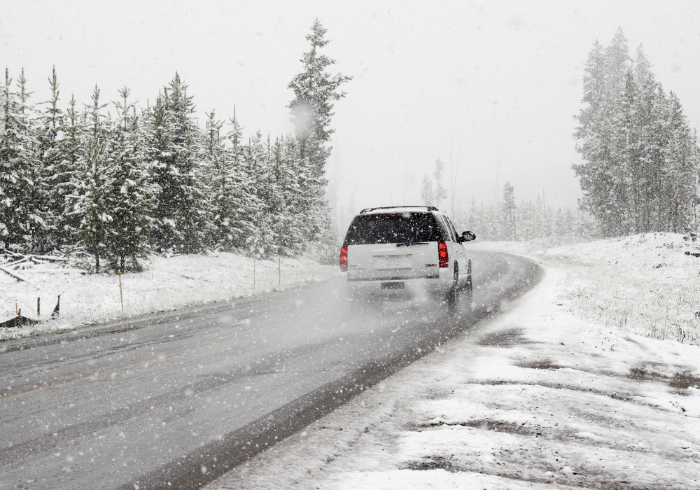
Lack of cold surface temperatures often causes snow to melt upon contact with the ground, preventing accumulation on roads and surfaces. Warmer ground conditions can transform snow into slush or water immediately.
This melting leads to complex interactions between storm impact and everyday life, where hazards shift from accumulation to potential ice. For forecasting models, these surface temperature profiles add an extra layer of predictive complexity.
12. Vertical temperature profiles in the atmosphere may favor rain over snow.

Vertical temperature profiles in the atmosphere reveal distinct layers that determine precipitation type during a storm. If warmer layers prevail, rain dominates over snow, despite cold surface conditions.
Understanding these vertical layers involves charting atmospheric temperature gradients, which influence forecast accuracy. The challenge of defining such layers serves as a reminder of the intricate balance in storm predictions, highlighting how nuanced atmospheric studies are essential.