Satellites reveal troubling sewage hotspots along coastlines across the globe.

NASA satellites utilize remote sensing technology to track sewage pollution across vast ocean surfaces, offering a comprehensive view unattainable by traditional methods. By detecting chemical signatures and monitoring changes in water quality, these satellites help identify pollution hotspots and track contamination spread over time. Although satellite data requires ground verification and expert analysis, it significantly enhances the understanding and management of marine sewage pollution.
1. NASA satellites use remote sensing to monitor ocean surface pollutants effectively.
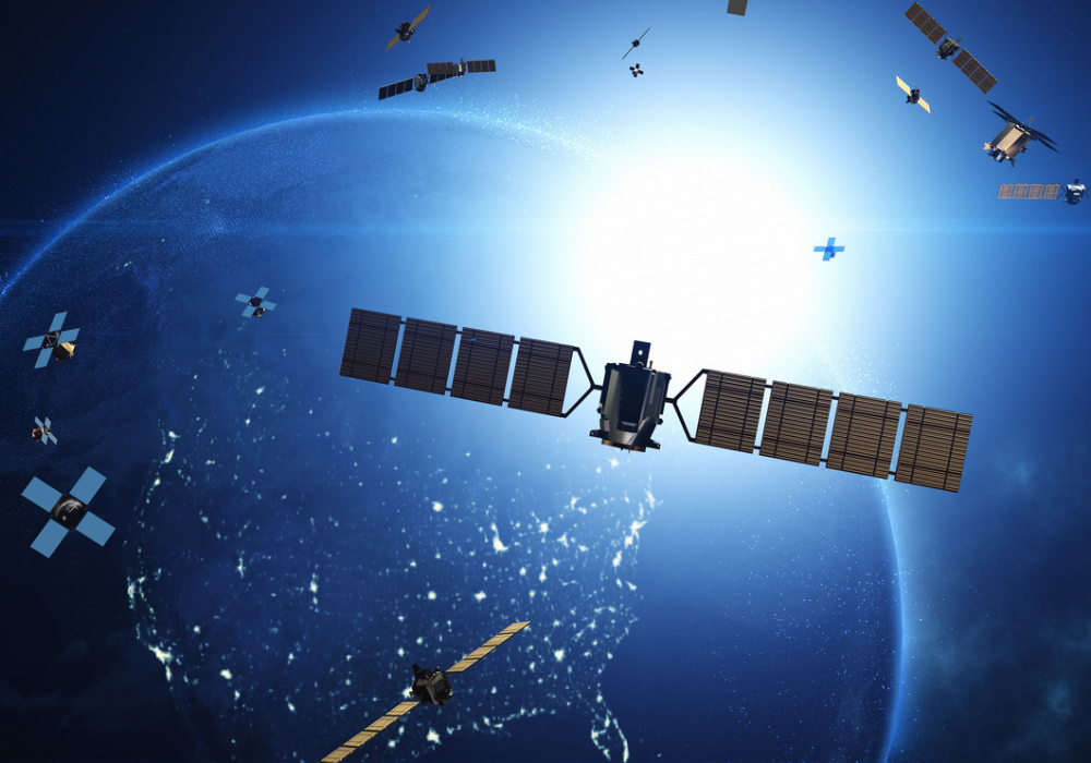
NASA satellites employ remote sensing to effectively monitor pollutants on the ocean surface. These advanced systems measure reflected sunlight and emitted radiation to detect substances that indicate pollution. Remote sensing provides a bird’s eye view, enabling large-scale environmental monitoring over vast ocean expanses.
In contrast, traditional monitoring methods only cover limited areas. Satellite data offers a comprehensive view, illustrating how pollution spreads. However, resolution constraints mean smaller pollutants might be missed, requiring ground-based methods for confirmation. Still, satellite observations remain vital for maritime environmental efforts.
2. Specialized sensors detect chemical signatures linked to sewage contamination.

Dedicated sensors onboard satellites detect chemical signatures associated with sewage contamination. These sensors identify variations in specific chemicals, such as excess nutrients and algal blooms, which often signal sewage discharge. This ability transforms elusive pollutants into traceable entities.
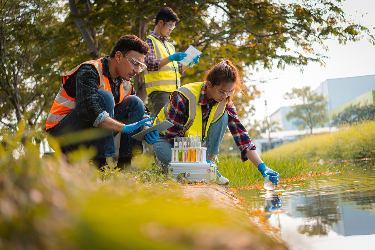
Ground verification plays a crucial role, ensuring satellite data accuracy. Satellite detection excels in identifying expansive or persistent contamination. In contrast, smaller, transient events may evade its reach. Thus, collaboration with local monitoring enhances data reliability and pollution management strategies.
3. Satellite data helps identify pollution hotspots far from shorelines.
Satellite data offers insight into ocean pollution hotspots that develop far from coastlines. By capturing large swathes of the ocean surface, satellites identify accumulations of pollutants that may remain unnoticed by coastal monitoring stations. This capability extends the reach of environmental protection efforts.
Detecting remote hotspots helps allocate resources effectively for marine cleanups. Satellites inform the timing and location of interventions, improving response efficiency. Yet, pinpointing sources remains a challenge, necessitating in-situ efforts for holistic understanding and solution implementation.
4. Temporal imaging allows tracking of sewage spread over hours and days.

Temporal imaging capabilities allow satellites to track sewage dispersion over time. Multiple consecutive images reveal changes in pollutant concentration, direction, and spread over hours and days. Tracking temporal dynamics adds an essential dimension to understanding pollution patterns.
However, capturing rapid changes requires frequent imaging. Satellite schedules may limit temporal resolution, potentially missing short-lived events. Despite this, longer-term tracking elucidates patterns and trends, providing foundational data for predictive models and decision-making processes related to environmental management.
5. Combining satellite data with ocean currents improves spill prediction accuracy.

Blending satellite observations with ocean current data enhances predictions of sewage spill pathways. When satellites map pollutant spread, integrating water movement dynamics narrows down future dispersal patterns and affected areas. This synergy advances predictive accuracy for combating marine pollution.
Understanding currents helps predict the pollution’s trajectory, crucial for anticipating impacts on coastal communities and marine life. Despite this, predictions are inherently uncertain, with real-world factors adding complexity. Continuous data input refines models, making them progressively reliable.
6. Infrared technology reveals temperature changes associated with sewage discharge.
Infrared technology, utilized by satellites, discerns water temperature alterations due to sewage discharge. Sewage can alter surface temperatures, often visible as thermal anomalies in infrared imagery. Observations of these changes aid in pinpointing potential contamination sites.
Temperature shifts act as indicators, but not definitive proof of contamination. External conditions, such as weather, can influence readings, necessitating complementary data for validation. Nonetheless, infrared insights form an invaluable tool for mapping oceanographic responses to pollution, enhancing detection capabilities.
7. NASA’s satellites provide real-time monitoring to support environmental agencies.
NASA’s satellite systems offer real-time monitoring support for environmental agencies. This continuous data stream allows for timely identification and assessment of pollution incidents, facilitating informed decision-making. Real-time tracking is particularly beneficial in dynamic oceanic environments.
While real-time data provides immediacy, challenges include temporal gaps during cloud cover or satellite repositioning. These factors may introduce observational inconsistencies. Despite its limitations, prompt data updating strengthens strategic responses to marine events, ultimately benefiting public and ecosystem health.
8. High-resolution images enable detection of subtle changes in water quality.

High-resolution satellite images capture subtle variations in water quality, essential for detecting early signs of deterioration. These images, detailed enough to reveal slight changes, serve as an early warning system. The clarity offered by high-resolution tools boosts efforts in ocean monitoring.
Despite its precision, this resolution cannot guarantee detail in cloudy or turbulent waters. Such conditions interfere with image quality. Consequently, high-resolution imaging complements, but doesn’t replace, traditional methods. Together, they present a fuller picture of marine health.
9. Satellite tracking complements traditional water sampling methods in oceans.
Satellite tracking methods support, rather than replace, conventional water sampling techniques in the ocean. While satellites provide extensive coverage, direct sampling offers nuanced, ground-truth data. Together, they offer a comprehensive understanding of marine pollution dynamics.
Reliance on both tools increases data reliability and interpretation. Satellite data’s scope addresses large-scale patterns, while local sampling captures detailed specifics. This dual approach enhances monitoring effectiveness, aiding in pollution prevention and control strategies across vast aquatic areas.
10. Data from NASA satellites informs public health and coastal management decisions.

Information from NASA satellites guides public health and coastal management decisions. By providing a broader understanding of pollution sources and distribution, satellite data aids in crafting informed policies. It supports sustainable practices in marine conservation and urban planning near coastlines.
Coastal managers employ this data to devise strategies that mitigate pollution impacts, protecting both ecosystem and human health. Expert interpretation remains vital for leveraging this data effectively. As technological advancements continue, these insights drive long-term environmental stewardship efforts.