
Volcanoes, quakes, and shifting plates reveal a region constantly on edge.
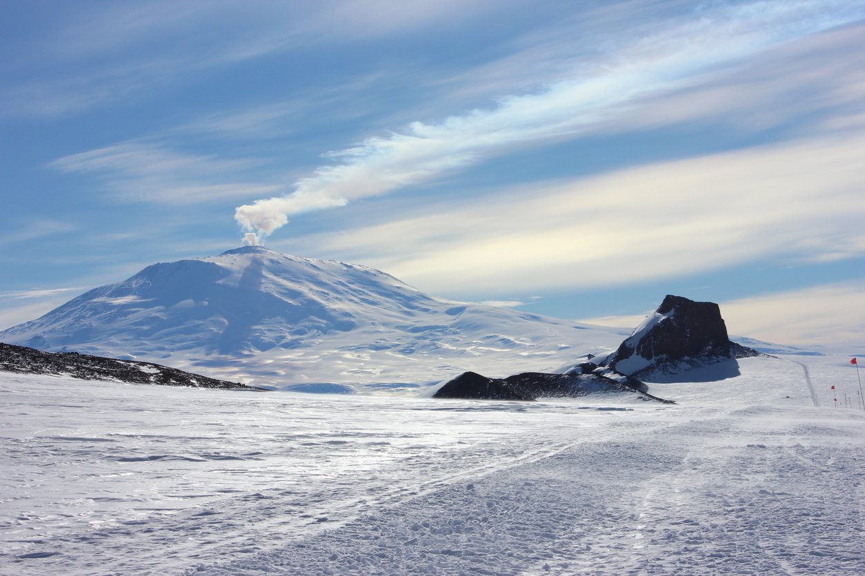
The Pacific Ring of Fire features intense seismic and volcanic activity due to tectonic plate interactions. Researchers study signals like earthquakes, ground deformation, gas emissions, and magnetic variations to understand these natural processes. Monitoring these indicators helps assess risks and improves early warning systems. Agencies such as USGS and NASA provide crucial data to interpret the complex behaviors beneath this volatile region reliably.
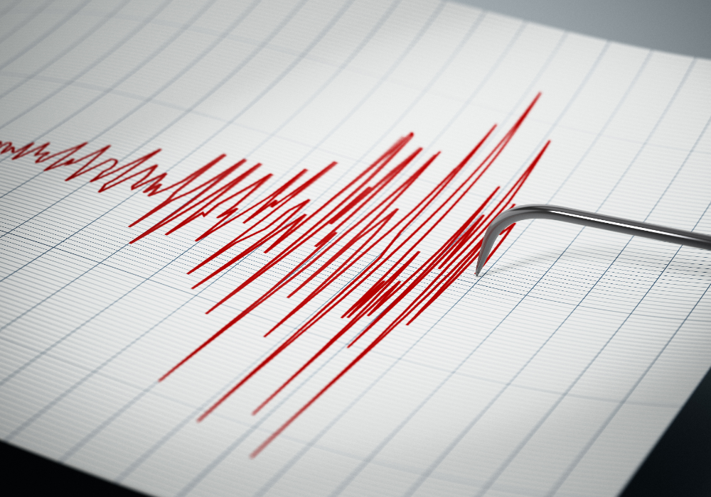
1. Detecting seismic waves to track earthquake activity beneath the ocean floor.

Seismic waves provide essential data on earthquake activity in the Pacific Ring of Fire. These waves, generated by movements of tectonic plates, travel through the Earth and are detected by seismometers. Scientists analyze wave patterns to locate earthquakes and determine their magnitude.
Such analysis helps anticipate potential aftershocks and understand fault line dynamics. However, detecting seismic waves alone doesn’t predict disasters. Comprehensive monitoring of several indicators, including seismic waves, enhances the reliability of forecasts and aids in preparing for possible earthquakes and associated hazards.
2. Measuring ground deformation to identify volcanic swelling and potential eruptions.
Ground deformation refers to changes in the Earth’s surface, often associated with volcanic activity. When magma accumulates beneath a volcano, it can cause the ground to swell or tilt, indicating potential eruptions. Scientists measure these changes using GPS technology and satellite data.
Persistent deformation patterns may signal increased volcanic activity, warranting closer observation. Although deformation can suggest magma movement, not all instances lead to eruptions. Identifying these patterns allows scientists to issue timely alerts, aiding in risk management and public safety in affected regions.
3. Monitoring gas emissions from volcanic vents to assess eruption likelihood.
Gas emissions from volcanic vents serve as crucial indicators of volcanic activity. These gases, including sulfur dioxide and carbon dioxide, escape from magma beneath the surface. Increased emissions might signal rising magma pressure, suggesting a higher likelihood of an eruption.
Analyzing gas compositions helps scientists assess changes in volcanic conditions. While elevated emissions can indicate eruption potential, they don’t guarantee one will occur. Continuous monitoring of gas output, alongside other signals, provides a more accurate assessment of volcanic behavior and potential risks.
4. Recording temperature changes in the earth’s crust near fault lines.

Temperature changes in the Earth’s crust around fault lines can indicate underlying seismic activity. Higher heat flow may result from friction during tectonic plate movements or magma rising near the surface. By monitoring these changes, scientists gain insights into geological processes.
Real-time temperature data, combined with other indicators, aids in detecting unusual conditions along fault zones. Temperature variations alone don’t directly predict earthquakes. Instead, they contribute to a broader understanding of seismic environments, supporting more comprehensive risk assessments.
5. Observing unusual animal behavior often linked to seismic disturbances.

Unusual animal behavior is often linked to seismic disturbances. Animals might detect subtle changes in the environment that humans cannot perceive, such as ground vibrations or shifts in electromagnetic fields. Observing these behaviors can provide early clues to potential seismic events.
Although intriguing, relying solely on animal behavior for predictions is unreliable. Animals may exhibit strange behavior for various reasons unrelated to seismic activity. Nevertheless, when combined with other scientific data, these observations can offer valuable insights into approaching geological changes.
6. Tracking patterns of microearthquakes that may precede larger tremors.
Microearthquakes are small tremors that often occur without causing significant damage. However, they can indicate stress accumulation along fault lines, serving as potential precursors to larger earthquakes. Seismologists monitor these events to study patterns and shifts in tectonic activity.
While most microearthquakes don’t lead to larger quakes, identifying clusters may point to increased seismic tension. Continuous observation helps distinguish harmless seismic activity from potentially hazardous conditions, contributing to more effective earthquake forecasting and preparedness efforts.
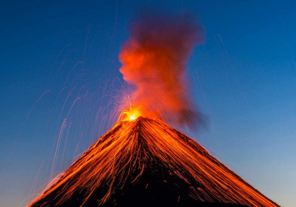
7. Using satellite imagery to spot changes in volcanic ash plumes.
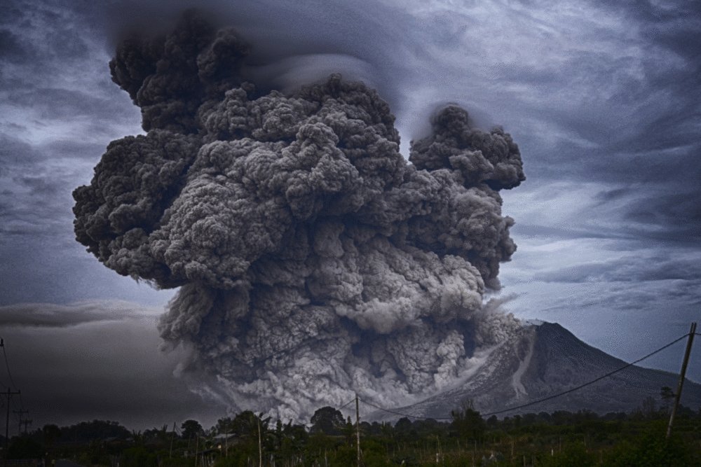
Satellite imagery is instrumental in spotting changes in volcanic ash plumes. Ash plumes, formed during eruptions, can travel great distances, affecting air travel and human health. Identifying their development through satellite data provides crucial information about volcanic activity.
Tracking plume movement helps determine the scope and impact of an eruption. While imagery can’t predict eruptions, it aids in assessing ongoing events and guiding response strategies. This technology complements ground-based observations, offering a comprehensive view of volcanic dynamics and associated risks.
8. Measuring changes in groundwater levels around volcanic areas.

Groundwater levels near volcanic areas can fluctuate with geological activity. Magma intrusion might cause surrounding water to rise or fall, providing clues to potential eruptions. Scientists use wells and monitoring stations to track these variations and assess volcanic conditions.
Changes in groundwater levels, coupled with other indicators, enrich the understanding of subsurface processes. However, not all alterations signify impending eruptions. By integrating multiple monitoring techniques, researchers enhance their ability to identify significant volcanic activity, improving hazard assessments and community preparedness.
9. Listening to low-frequency sounds produced by shifting tectonic plates.
Low-frequency sounds from tectonic plates shifting are crucial for understanding seismic activity. These infrasonic signals, or earthquake sounds, can’t be detected by human ears but are captured by specialized sensors. Analyzing them helps reveal fault dynamics and possible earthquake precursors.
While low-frequency sounds offer valuable data on plate movements, interpreting them requires careful analysis alongside other signals. Alone, they’re not predictive of disasters. This auditory data enhances scientific understanding of tectonic processes and informs broader seismic monitoring efforts.
10. Analyzing chemical changes in hot spring waters close to volcanoes.
Chemical changes in hot spring waters can indicate volcanic conditions. Minerals and gases dissolved in these waters often alter as volcanic activity fluctuates. Regular testing reveals shifts that may reflect rising magma or changing pressure levels within the Earth’s crust.
Such chemical data, combined with other signs, assists in forecasting potential eruptions. It’s important to remember these changes provide part of the broader volcanic picture. Comprehensive monitoring ensures a more accurate evaluation of eruption risks and supports community safety measures.
11. Monitoring magnetic field variations indicating magma movement underground.
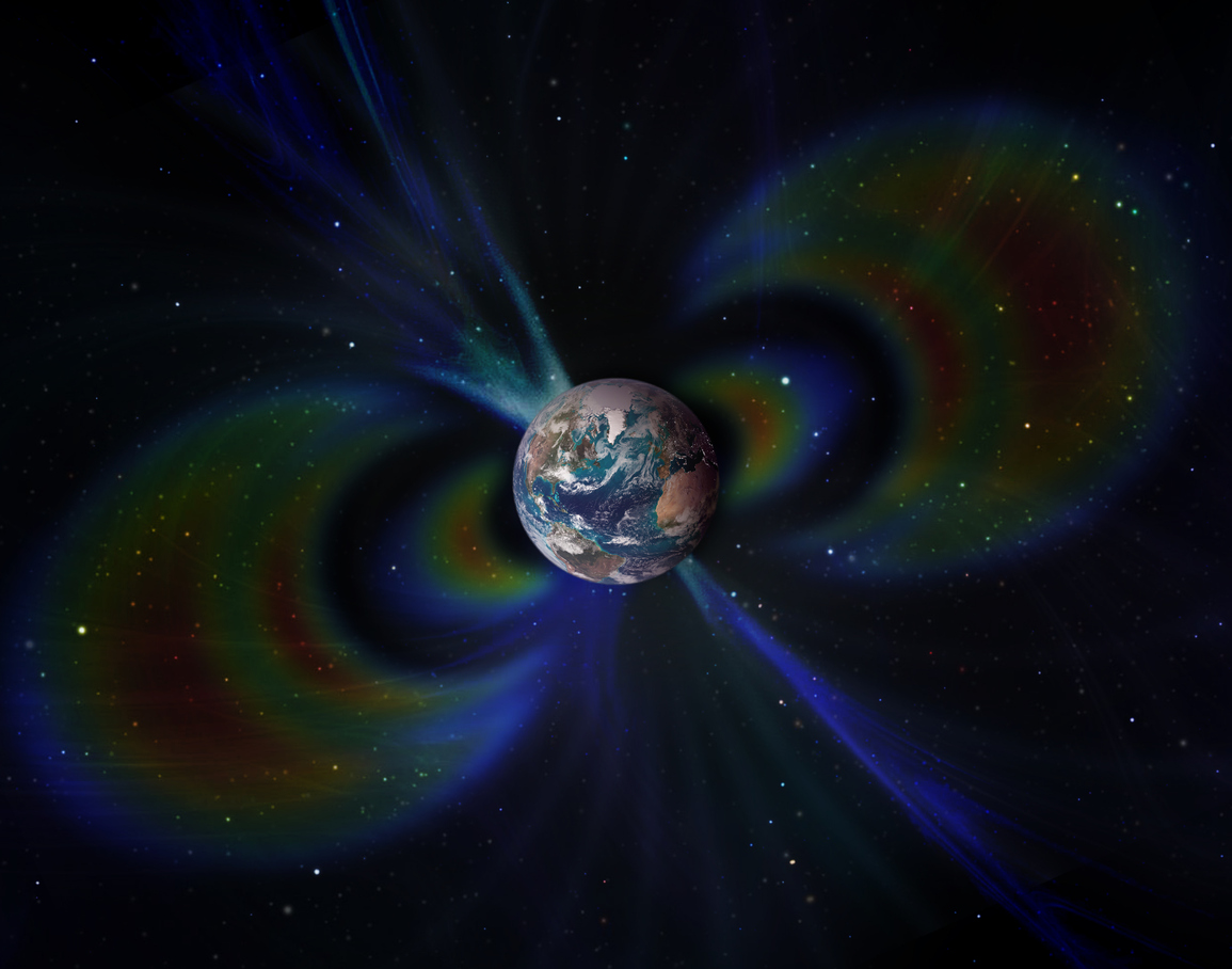
Variations in the Earth’s magnetic field can hint at magma movement underground. As magma flows, it can disturb the local magnetic field, creating detectable anomalies. Monitoring these variations helps scientists assess volcanic activity and anticipate possible eruptions.
Magnetic field data alone doesn’t signal imminent threats. Instead, it’s one component of a multidimensional monitoring strategy. Integrating magnetic observations with seismic, thermal, and geological data leads to better understanding of volcanic systems, enhancing predictive accuracy and preparedness for volcanic hazards.