
With climate change accelerating, yesterday’s maps can’t predict tomorrow’s floods.
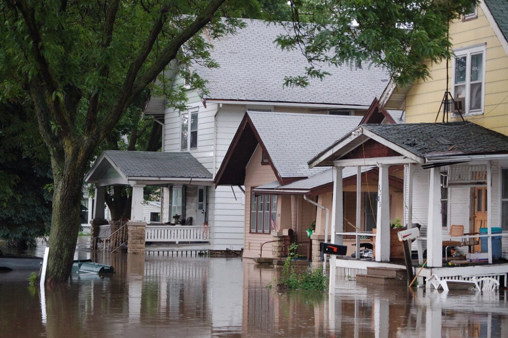
You may think you’re in the clear because FEMA’s flood map shows your home in a “low-risk” zone—but that map could be dangerously outdated. Across the U.S., millions of homeowners are relying on flood risk data that hasn’t kept pace with climate change, development, or rising sea levels. These aging maps can give a false sense of security—until the water’s at your doorstep.
Flood insurance, emergency plans, and even property values all hinge on understanding your real risk. If you’re not digging deeper, you may be gambling with your home. Here are 10 smart ways to get the full picture—before it’s too late.
1. Check your property’s flood history—even if it’s not on the FEMA map.

Just because your home isn’t in a mapped flood zone doesn’t mean it’s never been affected. FEMA maps don’t include all historical flood events, especially minor or flash floods. Use online tools like FloodFactor.com or contact your local municipality for floodplain records. Ask former owners or neighbors about past events. Water doesn’t respect lines on a map, and knowing your home’s flood history offers a clearer picture than outdated designations.
This simple step could reveal hidden risks that official maps overlook—and prompt you to take preventive action now rather than after the next big storm.
2. Use private flood risk tools that go beyond FEMA’s outdated data.

Websites like First Street Foundation’s FloodFactor and Risk Factor provide personalized flood risk scores based on updated climate models, rainfall patterns, and future projections. These tools often account for rainfall-driven flooding, which FEMA maps typically ignore. You’ll see your property’s flood risk now—and decades into the future.
With climate change increasing both the frequency and intensity of storms, relying solely on FEMA is like using an old roadmap to navigate new terrain. Private tools can help fill in the gaps and show you the real risk you’re living with—whether your mortgage lender requires flood insurance or not.
3. Review topographic maps to understand how water flows around your home.
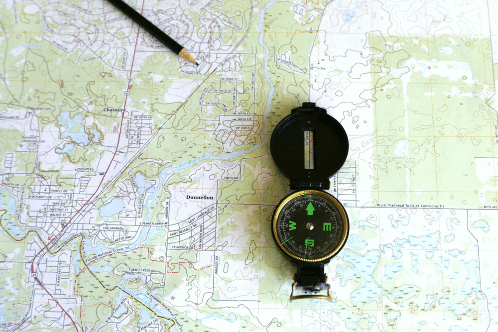
Elevation matters. Homes built at lower elevations or near natural drainage paths are at greater risk—even if they fall outside mapped flood zones. Topographic maps can help you visualize how water is likely to move across your neighborhood during heavy rain or snowmelt. You can find free elevation data through the U.S. Geological Survey or county GIS offices. Look for nearby slopes, creeks, and low points.
This insight allows you to assess vulnerabilities and consider mitigation strategies like landscaping changes or installing flood vents. Your house doesn’t need to be near a river to be at risk—it just needs to be lower than the water.
4. Talk to your insurance agent—even if flood insurance isn’t required.

Many homeowners skip flood insurance because their mortgage doesn’t mandate it. But that decision is often based on old or incomplete flood zone designations. Talk to your insurance agent about optional flood policies, especially if you’ve uncovered new risk factors. Premiums are often lower for homes outside high-risk zones—and the peace of mind is worth the price.
Most policies through the National Flood Insurance Program (NFIP) cover up to $250,000 in structure damage and $100,000 in contents. Waiting until you’re knee-deep in water is a costly mistake. A 30-day waiting period applies, so plan ahead.
5. Look at recent flood events in your region—even if your home wasn’t affected.

Flood patterns are shifting. Areas that rarely saw flooding a decade ago are now experiencing regular inundation due to heavier rainfall and outdated drainage systems. Check recent news reports, emergency declarations, or NOAA flood event databases for your region.
If neighborhoods nearby have flooded recently, yours could be next—even if it’s never happened before. Proximity is no longer enough to determine risk. Rising groundwater, overwhelmed storm drains, and changing storm tracks are redrawing the flood map in real time. Keeping tabs on local flood events helps you stay one step ahead of water that’s moving in closer.
6. Assess your home’s drainage and grading—don’t assume builders got it right.

Proper grading directs water away from your foundation, but even well-built homes can shift over time. Soil erosion, landscaping changes, and clogged gutters can all compromise drainage. Inspect your yard’s slope, downspout placement, and any areas where water tends to pool. Consider having a contractor or drainage expert evaluate your property, especially if your basement or crawl space has ever felt damp.
Flood risk isn’t always about rivers and lakes—it’s often about how well your own lot handles a heavy downpour. When the ground can’t drain properly, your home becomes the lowest point—and the water will find it.
7. Investigate local infrastructure and how well it handles heavy rain.

Outdated or poorly maintained stormwater systems are a major cause of urban flooding. Contact your city or county public works department to ask about drainage upgrades, flood control projects, or known problem areas. If your neighborhood has seen road flooding, sewer backups, or overwhelmed culverts, it’s a red flag.
Also check whether your area has combined sewer systems, which are more prone to backups during storms. Municipal systems may not be designed for today’s extreme rainfall. If your home depends on them to stay dry, your true flood risk could be much higher than you realize.
8. Know the flood risks tied to climate change in your region.

Climate models predict more frequent and severe flooding in many parts of the U.S., especially along the Gulf Coast, Southeast, and Northeast. Even inland communities are seeing increased flood risks due to heavier rain and snowmelt.
Look at climate impact maps from NOAA, USGS, or the IPCC to understand long-term risks in your area. A home that’s safe today might not be safe tomorrow. Factoring in future climate shifts when assessing flood risk isn’t alarmist—it’s smart. Planning ahead now means you won’t be caught off guard when the next 100-year flood becomes the next five-year norm.
9. Ask local officials when FEMA maps were last updated in your area.

Some FEMA flood maps haven’t been updated in 10, 20, or even 30 years. Changes in land development, weather patterns, and sea levels have made many maps outdated and inaccurate. Contact your city or county planning department to ask when your local maps were last reviewed—and whether any revisions are underway. They may also offer preliminary data that hasn’t yet been finalized but can still help you plan.
Don’t assume recent construction or rezoning means new maps. Many homeowners are shocked to learn their flood risk was based on data older than their mortgage.
10. Get a professional flood risk assessment if you’re unsure.
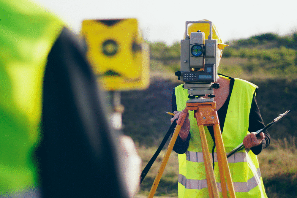
If your research leaves you feeling uncertain—or if you’re buying property—a professional flood risk assessment offers personalized clarity. Licensed surveyors or civil engineers can evaluate your home’s elevation, soil drainage, nearby water sources, and construction vulnerabilities. They can also help you determine whether flood insurance is wise, even if not required.
For high-value properties or homes near creeks, slopes, or retention ponds, this step is especially valuable. When you’re investing hundreds of thousands of dollars into a home, it makes sense to understand its true risk—not just what the paperwork says. Floods don’t care about official zones—but preparation does.